Quick Info
| Length | 14 miles |
| Class (I-VI) | II-III |
| Minimum Flow | 200 cfs |
| Ideal Flow | 300 – 2,000 cfs |
| Maximum Flow | 5,000 cfs |
| Current River Conditions | USGS below Presidio |
| Put-in map | Redford, TX (Angell Expeditions) |
| Take-out map | Rancherias (Colorado Canyon Public Access) |
| Boats | Canoes, Kayaks, Rafts |
| Season | Year-round, weather/flow permitting |
| Highlight | Scenic canyons, good whitewater |
| Distance to Lajitas | Dallas 600 miles; Houston 650 miles; Austin 500 miles; El Paso 325 miles |
Recreation & Access
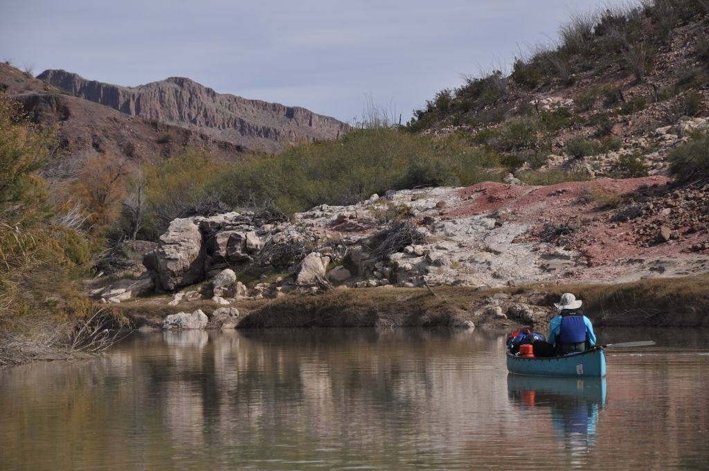
TPWD permit is required which can be obtained at the Barton Warnock Center in Lajitas. This section provides good whitewater with many pool and drop rapids and rock gardens. Good campsites make this section a great overnight trip. Even before you get to the put-in, you will find that TX Highway 170 along the Rio Grande is one of the finest scenic drives in the state. Angell Expeditions has an outpost at Redford, TX.
Conservation & Threats
Bacterial infections are easy to contract. Use soap and clean water, especially with open sores on hands or feet. Development encroachment, water pollution.
Historical/Cultural Significance
Conflict with Mexico continued when the United States annexed Texas as a state in 1845. Mexico claimed that the new border between Texas and Mexico was the Nueces River, while the United States contested the border was the Rio Grande. The Treaty of Guadalupe Hidalgo, that brought an official end to the Mexican-American War (1846-1848), was signed on February 2, 1848, at Guadalupe Hidalgo, where the Mexican government had fled with the advance of U.S. forces. By its terms, Mexico ceded 55 percent of its territory, including parts of present-day Arizona, California, New Mexico, Texas, Colorado, Nevada, and Utah, to the United States. Mexico relinquished all claims to Texas, and recognized the Rio Grande as the southern boundary with the United States. The United States paid Mexico $15,000,000 “in consideration of the extension acquired by the boundaries of the United States” (see Article XII of the treaty) and agreed to pay American citizens debts owed to them by the Mexican government. The treaty gave rise to development of the IBWC International Boundary and Water Commission which governs all concerns of flow and sharing of the boundary waters of the Rio Grande and other boundary waters of New Mexico, Arizona and California.
Natural Features
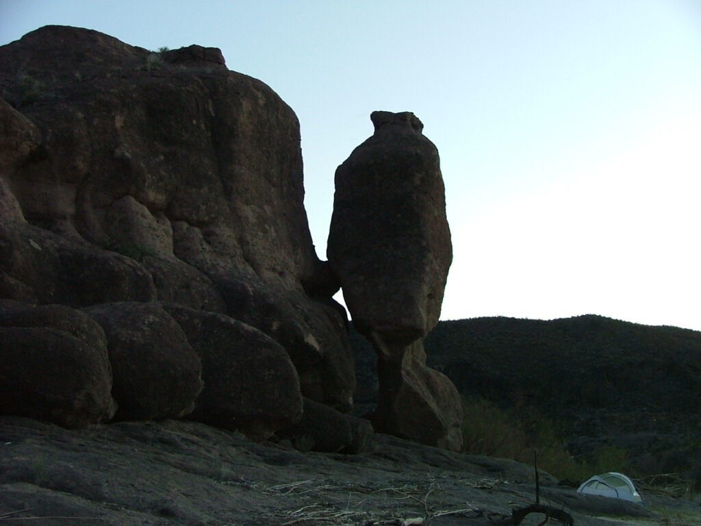
Hoodoos geological formations are found in this section.
Additional Resources
- Big Bend National Park, TX 79834 / (432) 477-2251
- Big Bend Ranch State Park
- Chart – RGWS River Mileages Presidio to Langtry 318 Miles.PDF
- Chart – RGWS Lower Canyons River Mileages Heath Canyon to Dryden Crossing 82 Miles.PDF
- NPS: Big Bend Home Page
- NPS: Big Bend Daily Report
- NPS: Floating the Rio Grande NPS Page
- Far Flung Outdoor Center, Terlingua
- Desert Sports, Terlingua
- Big Bend River Tours, Terlingua
- Angell Expeditions
- The Upper Canyons of the Rio Grande, Louis Aulbach
- The Great Unknown of the Rio Grande, Louis Aulbach
- The Lower Canyons of the Rio Grande, Louis Aulbach & Joe Butler
- Death In Big Bend, Real stories of death and rescue by Laurence Parent
Flows
- IBWC Rio Grande Gages
- IBWC Near Real Time Reports (PDF)
- USGS Gage nr Castolon
- Mexican Reservoir Storage (Rio Concho)