
Overview
Rising in the high plains of the Llano Estacado, the 862-mile Colorado is one of the longest Texas rivers and the longest flowing entirely within state borders. The Colorado River originates in the Permian Basin, then flows through Hill Country and fills the famous Highland Lakes reservoirs (Buchanan, LBJ, Inks, Travis and Lady Bird Lake). Several iconic Texas rivers feed the Colorado, including the Concho, San Saba, Llano, James, Pedernales Rivers and Barton Creek in Austin. At the edge of Austin, the river flows over Longhorn Dam and continues freely to Matagorda Bay at the Gulf of Mexico. Along its way to the coastal plain the river flows through several natural regions and important agricultural areas, including rice farms and heavy industry.
Quick Info
| Length | Up to 12 runs between 6 and 43 miles |
| Class (I-VI) | I-II+ |
| Minimum Flow | |
| Ideal Flow | |
| Maximum Flow | |
| Current River Conditions | USGS: SanSaba190, Austin, Bastrop, LaGrange, BayCity |
| Put-in maps | See featured runs below |
| Take-out maps | See featured runs below |
| Boats | Canoes, kayaks |
| Season | Year round |
| Highlight | Good camping, good fishing |
Featured Runs
Launch Site Maps
- US 190 Bridge to Colorado Bend S.P. [30 miles]
- Pedernales River [x miles]
- Lady Bird Lake – Austin [6 miles loop]
- Barton Creek [up to 20 miles]
- Little Webberville Park to Webberville Park [5 miles]
- Webberville Park to Utley FM-969 Bridge/Boat Ramp [14 miles]
- Utley FM-969 Bridge/Boat Ramp to Bastrop Fisherman’s Park [14 miles]
- Bastrop Fisherman’s Park to Smithville 230 Bridge [26 miles]
- Smithville 230 Bridge to LaGrange Boat Ramp [36 miles]
- LaGrange Boat Ramp to Columbus Beason’s Crossing [43 miles]
Paddling Trails and Descriptions
El Camino Real Paddling Trail [6 miles, 1.5-4 hours]: Bastrop
Wilbarger Paddling Trail [14.3 miles, 4-8 hours]: Bastrop
Columbus Paddling Trail [6.5 miles, 2-5 hours]: Columbus
Conservation and Threats
Rapid growth and urbanization throughout Travis County is pushing higher quantities of water and sediment into the Colorado River through increased impervious cover and disturbed surfaces. Excessive amounts of dirt often wash into the river from landscapes that have recently lost their native vegetation and natural cover. Point-source pollution may be entering the Colorado where chemical spills, sewage leaks, and other accidents occur. Non-point source pollution is taking place where pet waste, fertilizers, pesticides, and herbicides are washing off yards and fields into the creeks that feed the river.
Natural Features
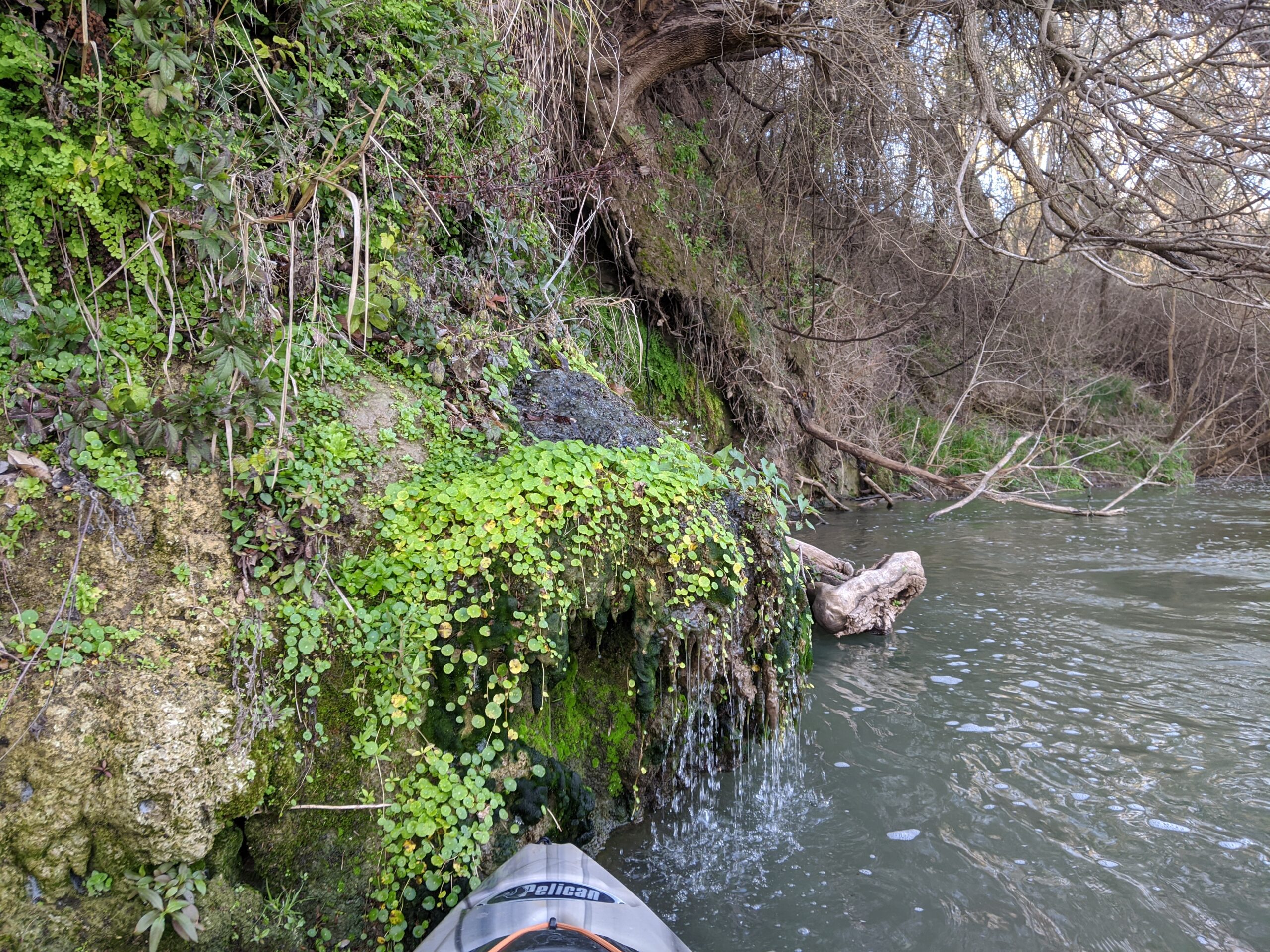
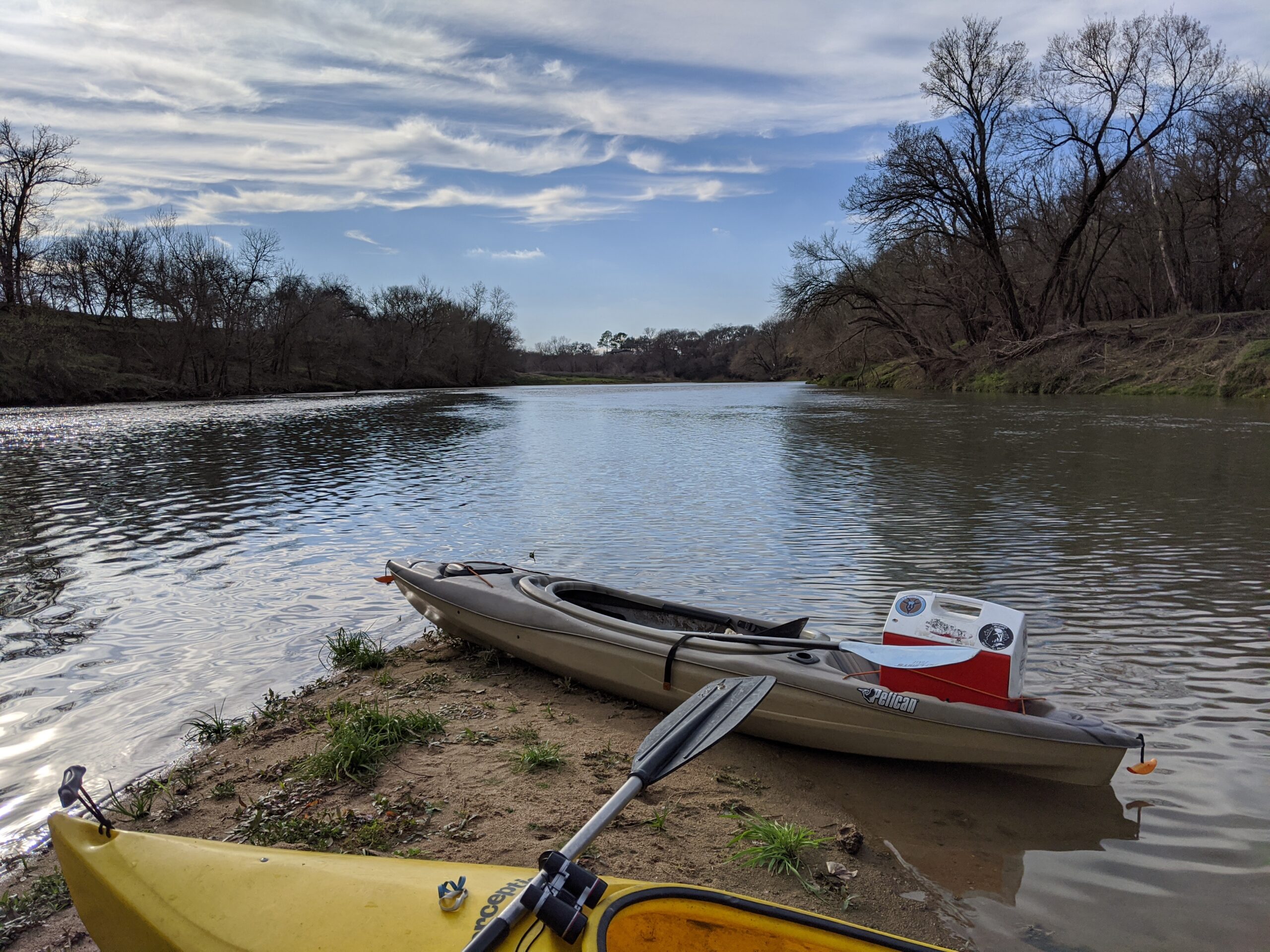
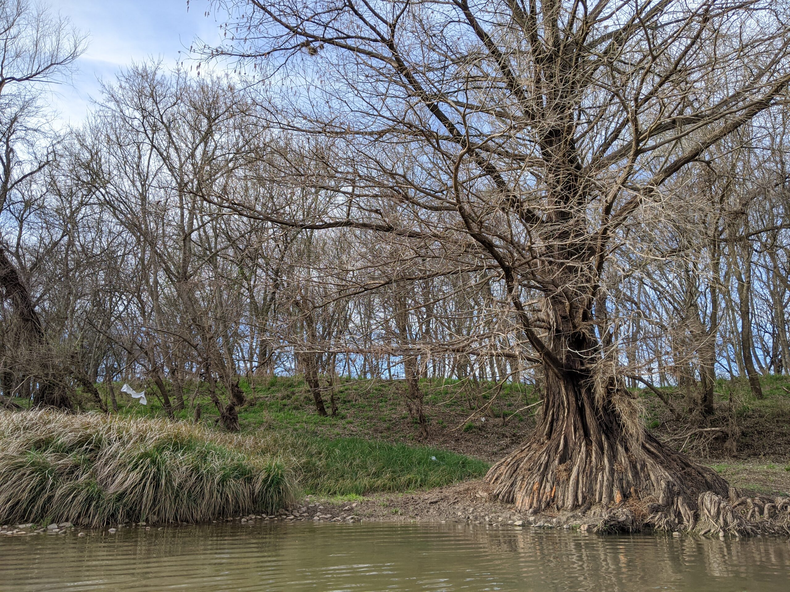
The free-flowing Colorado River here is a wide, slow-moving stream that embraces gorgeous scenery through remnants of rich bottomland hardwood and oak forests and the blackland prairie of central Texas. Numerous sandbars and islands in the river create a number of opportunities for overnight camping (please respect private property) and several access points provide for a variety of trip styles. Popular day trips are highlighted for two Paddling Trails at Bastrop (TPWD “Bird City” designation) and at Columbus.
Fishing
The most common fishes of the Colorado River are Striped bass, Largemouth bass, White bass, Guadalupe bass, Blue catfish, Flathead, Small Buffalo, Freshwater drum, Crappie, Rio Grande Cichlid, various Sunfishes, Spotted and Longnose gar, Alligator gar (record 150 pounds).
- Guadalupe River Chapter of Trout Unlimited
- Allwater Guides Fly Fishing
- Castell Guide Service
- Expedition Outfitters
- Hill Country FlyFishers
- Fly-Fishing the Texas Hill Country, by Kevin Hutchison
- Colorado River Angling Records
- Texas River School, Austin
- TPWD Texas Rivers / Streamflow
- Trip Report Dec. 2016, Earl Atnip – Webberville to Matagorda Bay [268 miles]

AN Notes -Other Access:
-Mile 0 access: Little Webberville Park (30.229489, -97.518956)
-Mile 5 access: Webberville Park (30.209036, -97.499518)
-Mile 19.0 access: FM 969 boat ramp (30.167788, -97.403291)
-Mile 32.5 access: Bob Bryant Park (30.121805, -97.337651)
-Mile 33.5 access: Fisherman’s Park (30.111960, -97.325099)
-Mile 39.9 access: Lost Pines Recreational Trails (30.079648, -97.316014)
-Mile 60.8 access: Vernon Richards Riverbend Park (30.0179277, -97.144475)”