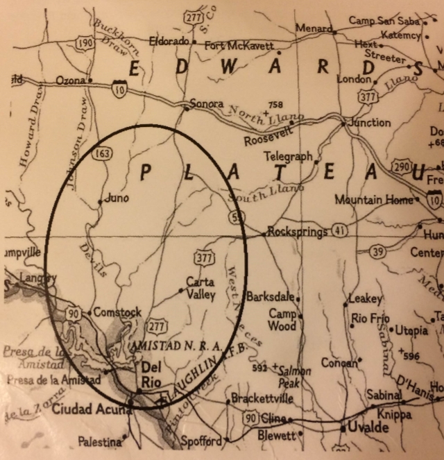
Overview
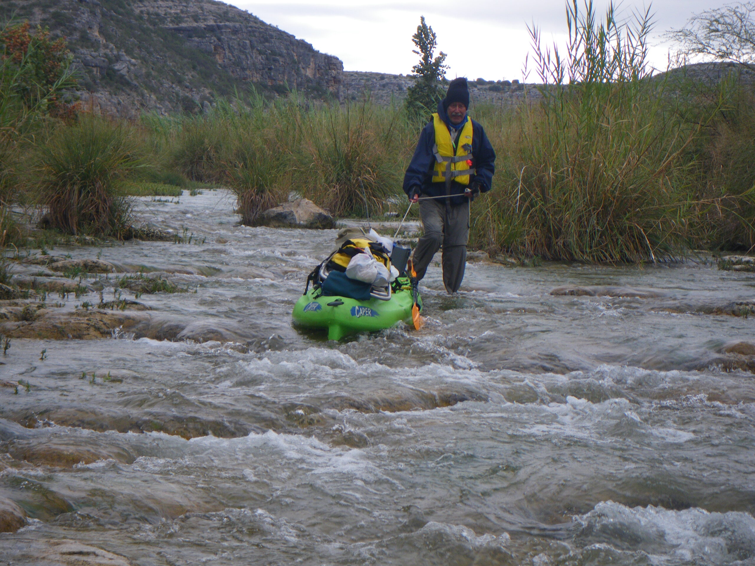
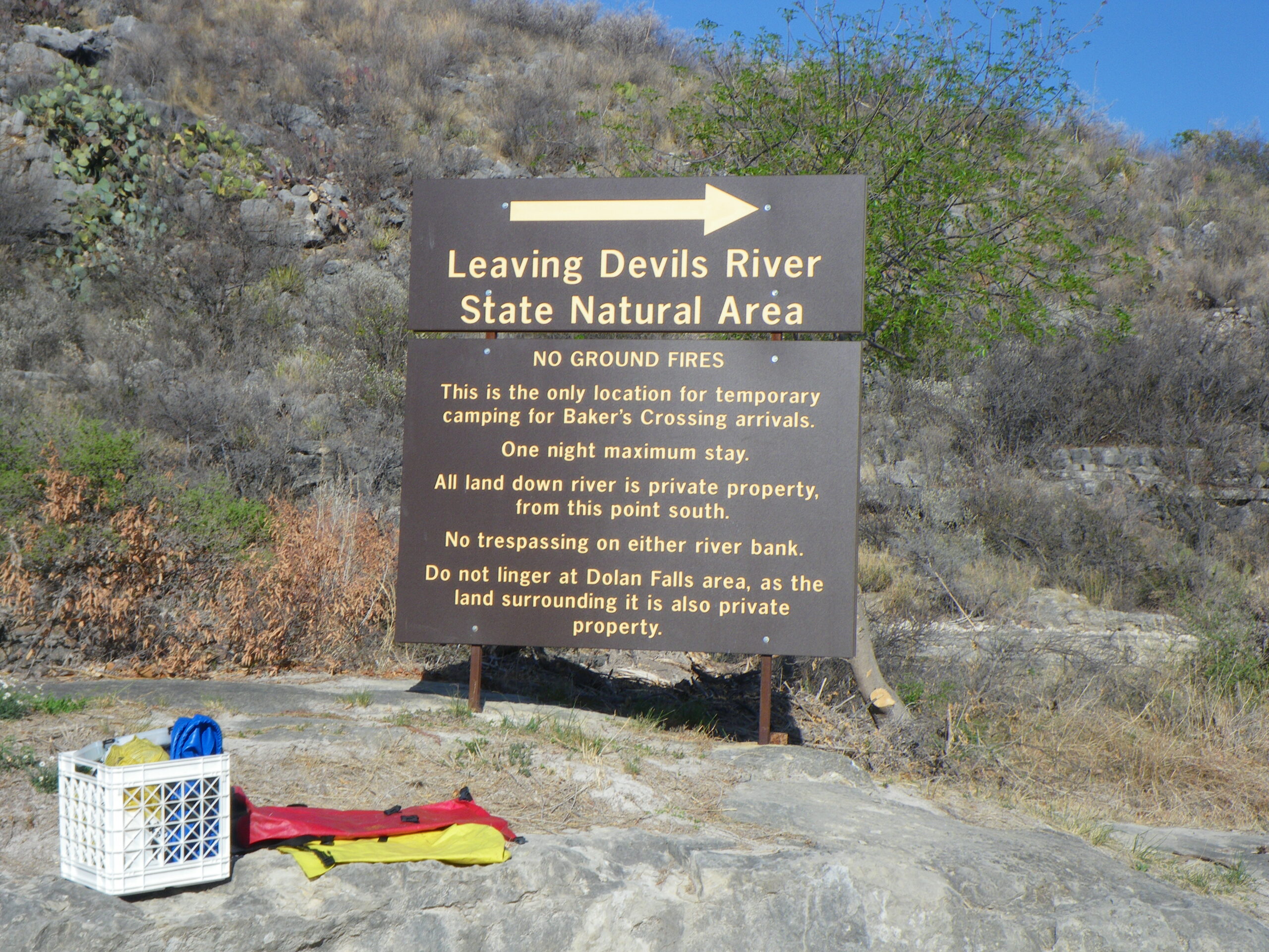
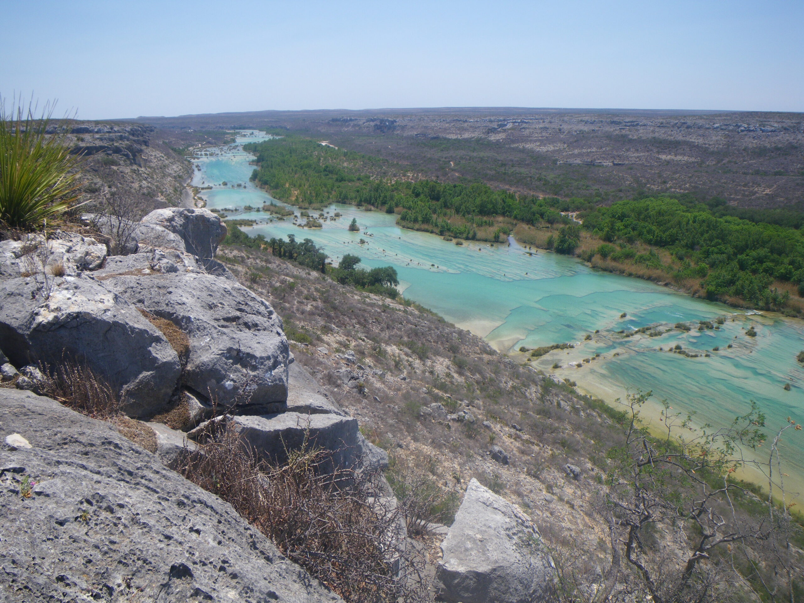
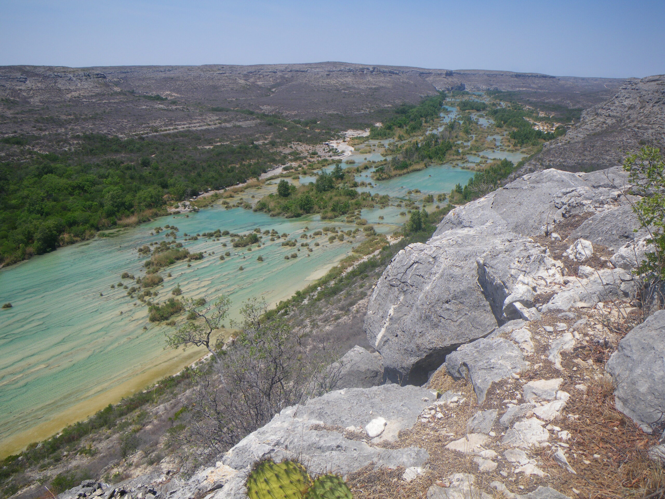
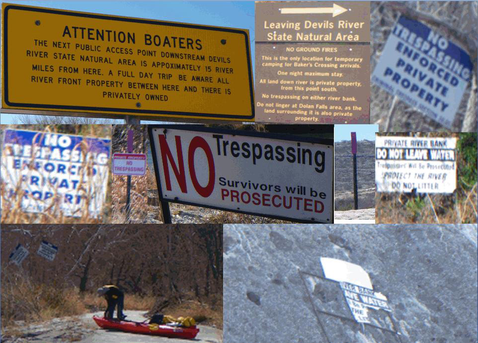
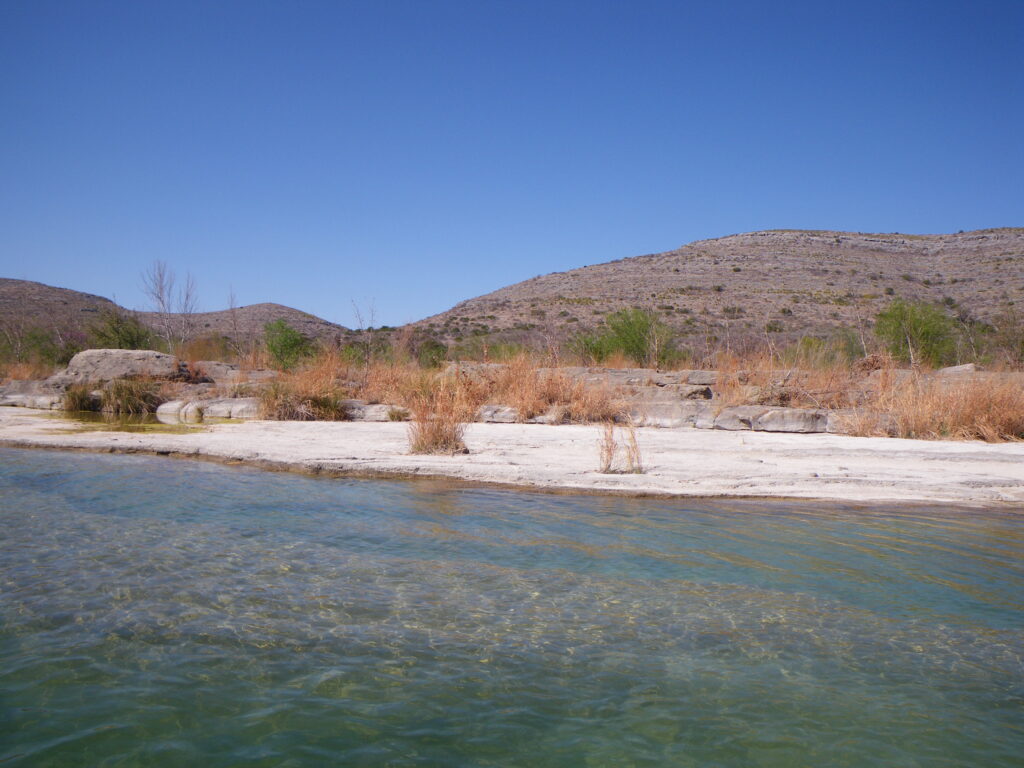
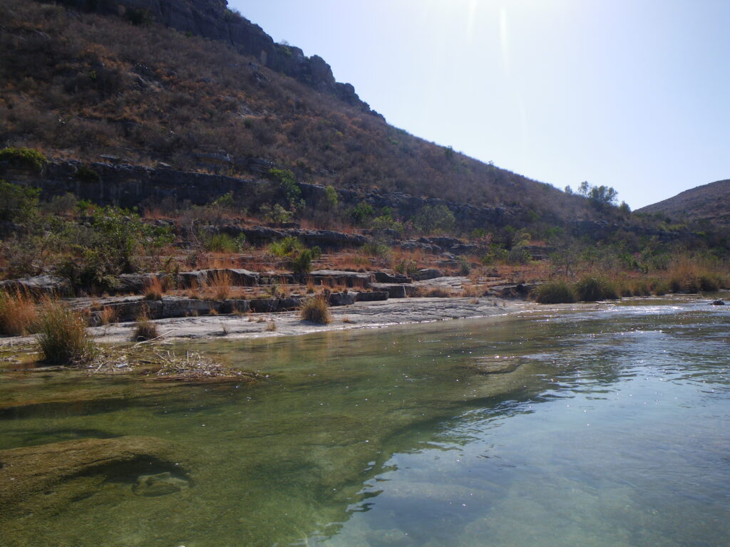
The Devils River headwaters rise in Crockett County and Sutton County and flow south into Val Verde County. The Devils is navigable at Baker’s Crossing (given sufficient flow). For paddlers and fishers, the Devils River is a bucket list trip, so you are advised to take your time and don’t be hurried. The Devils is arguably the most pristine spring-fed river in Texas, flowing over a limestone and gravel river bed. There is excellent bass fishing, beautiful camps, swimming holes, magnificent examples of ancient Native American rock art. Do Not Trespass. Leave No Trace.

Recreation and Access
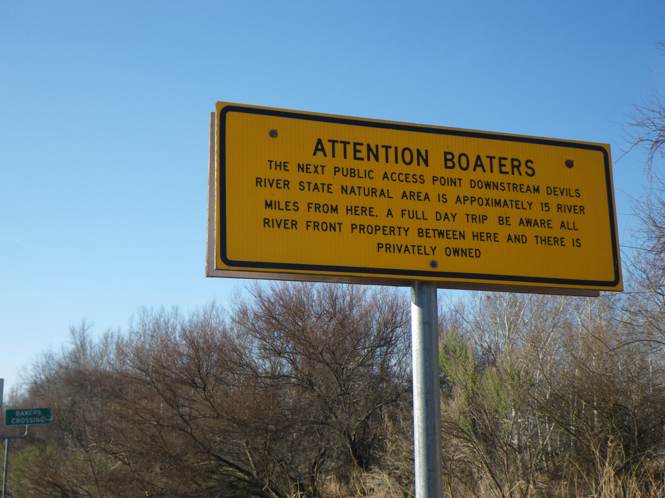
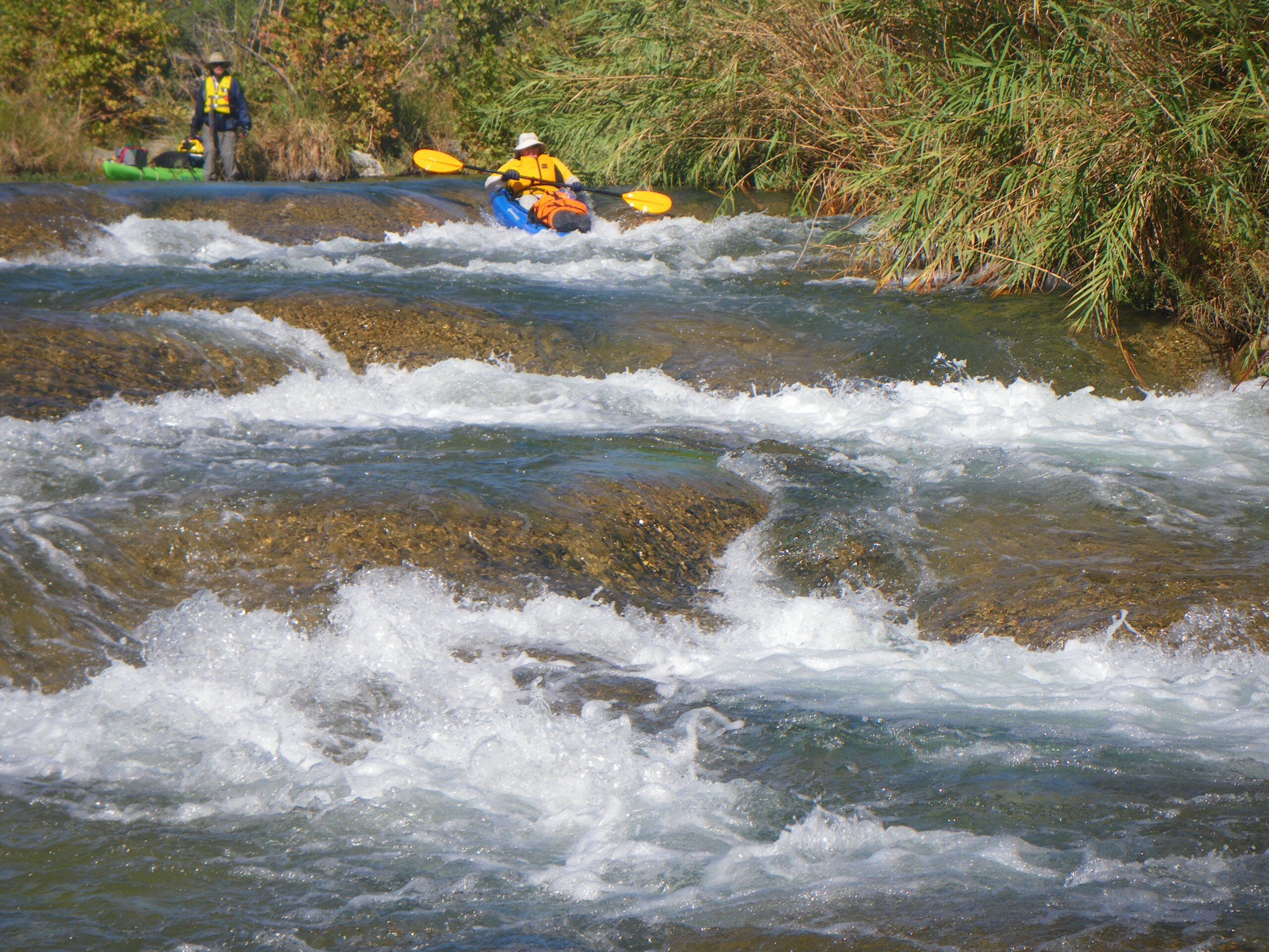
Take 3-4 nights and enjoy the bass fishing from Bakers Crossing to San Pedro or Devils Back for a land shuttle or to Lake Amistad for a marine shuttle over the lake. Other options may exist if you have access to private landowners. A DRAP is generally required, although many paddlers do find ways to subvert it. The continuing health of this river and fishery is better served when visitors use only Devils River SNA-authorized outfitters guides and shuttle services.
Featured Runs
Descriptions and Launch Site Maps
- Bakers Crossing to San Pedro [15 miles]
- San Pedro to Devils Back [14 miles]
- Devils Back Camp to Lake Amistad Slaughter Bend [8.5 miles]
Natural Features
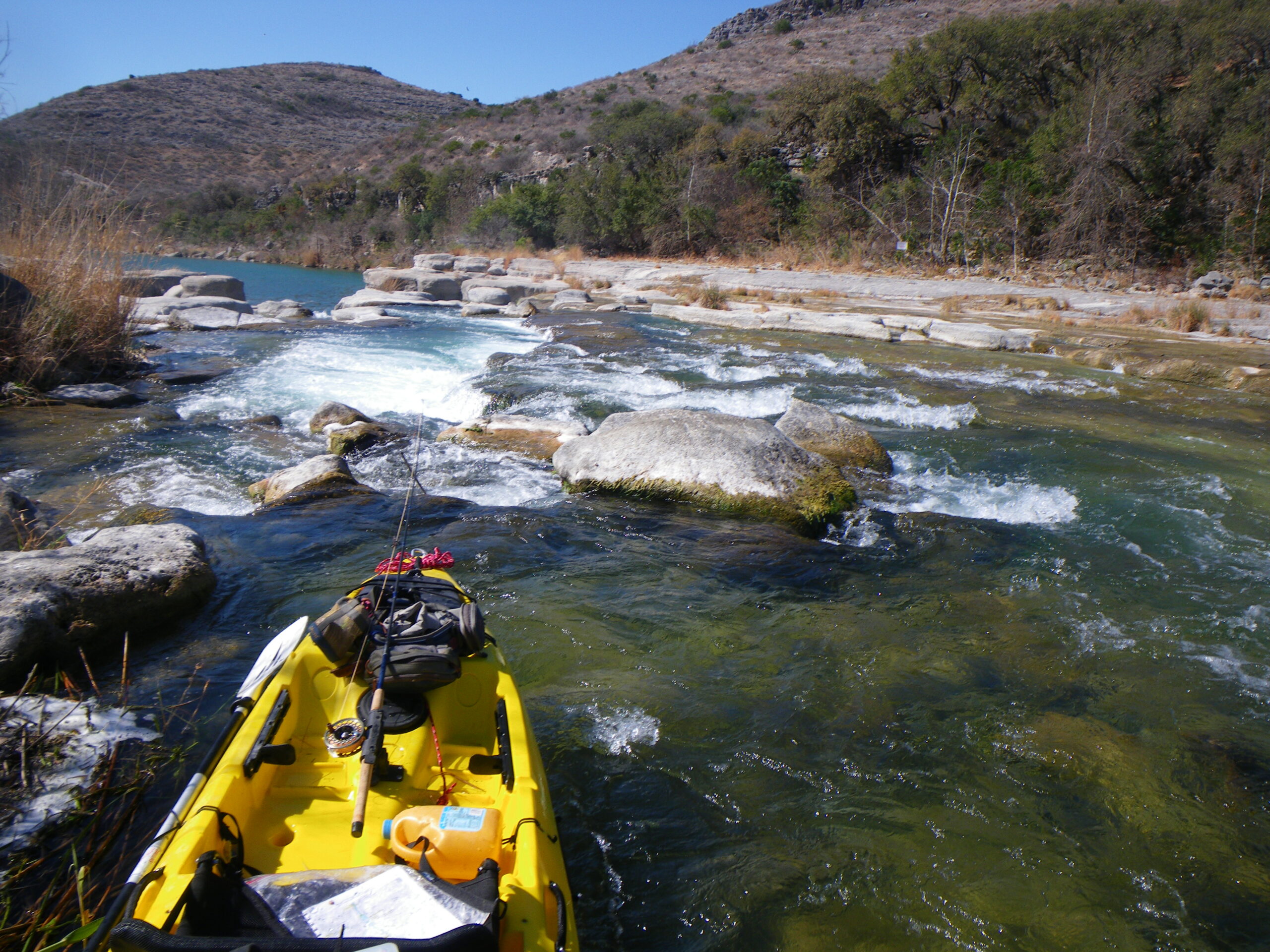
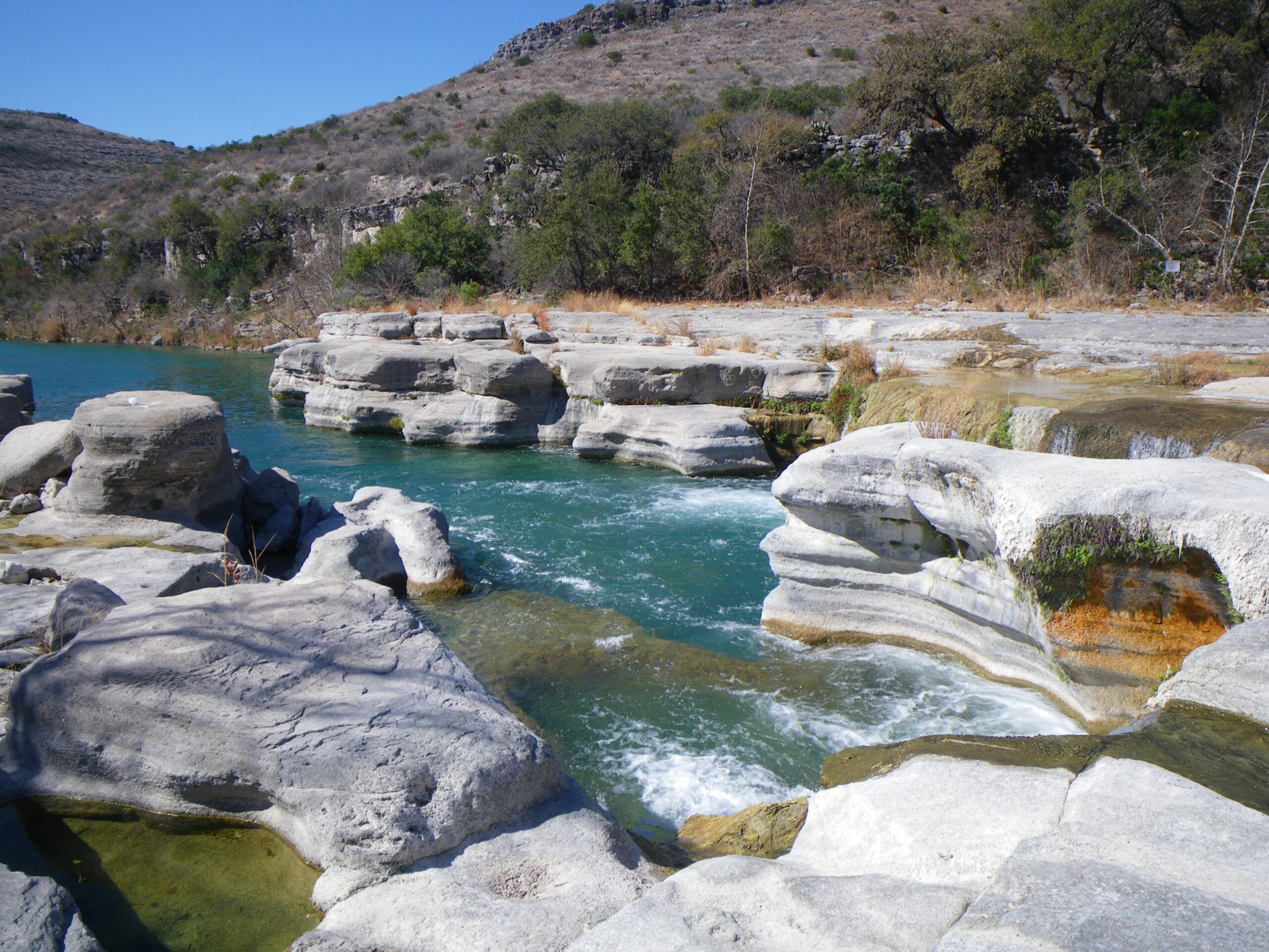
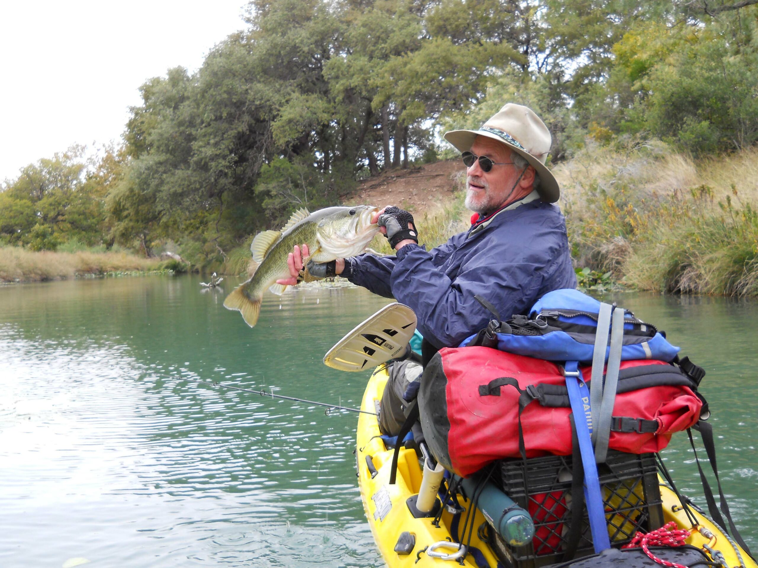
The Devils is arguably the most pristine spring-fed river in Texas, flowing over a limestone and gravel river bed. Excellent bass fishing, beautiful camps, swimming holes, magnificent examples of ancient Native American rock art. Game Warden Rock, Dolan Falls, Three-tier Rapid, Dandridge Falls, Lake Amistad. Huge biodiversity of flora and fauna as the Chihuahuan Desert, Tamaulipan Thornscrub, Edwards Plateau, and southern Texas Plains ecoregions meet here. Pristine water flows from the abundance of springs that support state-listed threatened and endangered species, including the Devils River minnow and Conchos pupfish. Golden-cheeked Warbler, Tropical Parula and Canyon Wrens are common. Smallmouth Bass, Large Mouth Bass, various sunfishes, catfish and gar.
Historical and Cultural Significance
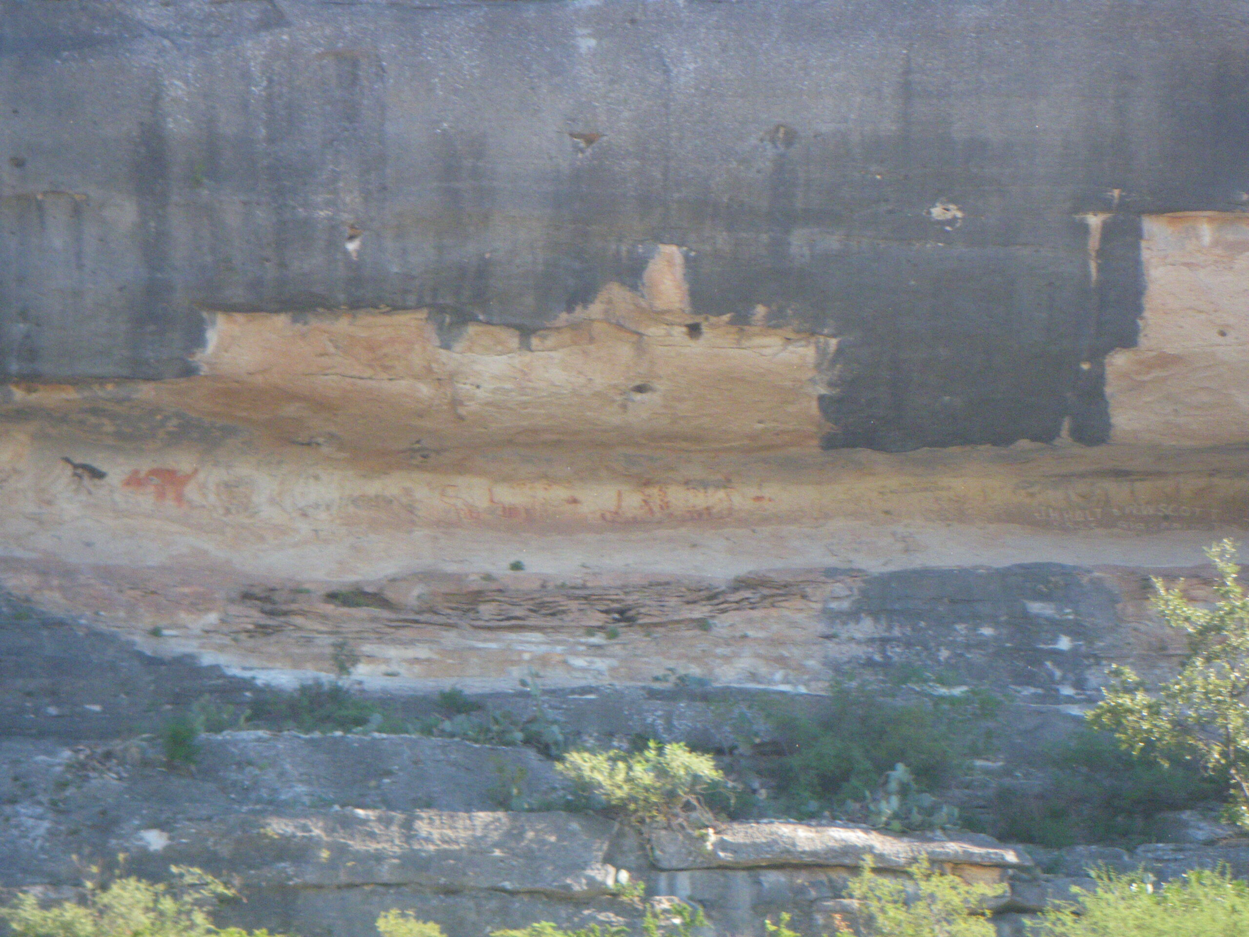
Magnificent examples of native rock art, both pictographs and petroglyphs. Traditional sheep ranching area where a 20,000 acre ranch is not exceptionally large. The very large and fairly unfragmented ranches surrounding the Devils are a primary factor in the existing high water quality and spring flow. Leave No Trace.
Conservation and Challenges
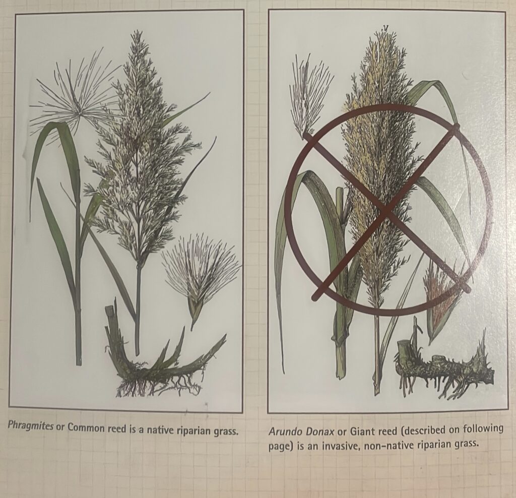
The list of environmental challenges is long: Over-pumping groundwater, Land fragmentation, Recreational over-use, Bed and bank disturbances, Proliferation of non-native, invasive species, loss of Conchos Pupfish population, Potential groundwater over-extraction, Inadequate streamside septic systems, Over-grazing, Algae blooms, Cultural vandalism, Intrusive wind turbine development.
Since paddlers discovered the Devils River by the 1970’s, contentious relations escalated between guarded ranchers and honest paddlers struggling to understand the nuances of riparian trespass within the context of Gradient Boundary law. Tales of rifle stand-offs at Jarrett’s Crossing are legend. Somehow, a ranching family member made the ranks of Ranger at DRSNA before 2010. This particular ranger abused paddlers at Game Warden Rock who found the required 15-mile Bakers to San Pedro an impossible feat at low water. About 2010, Devils River Ranch (32 miles downstream of Bakers) was donated to TPWD, a deal worth many millions. It was time for a Devils River management plan.
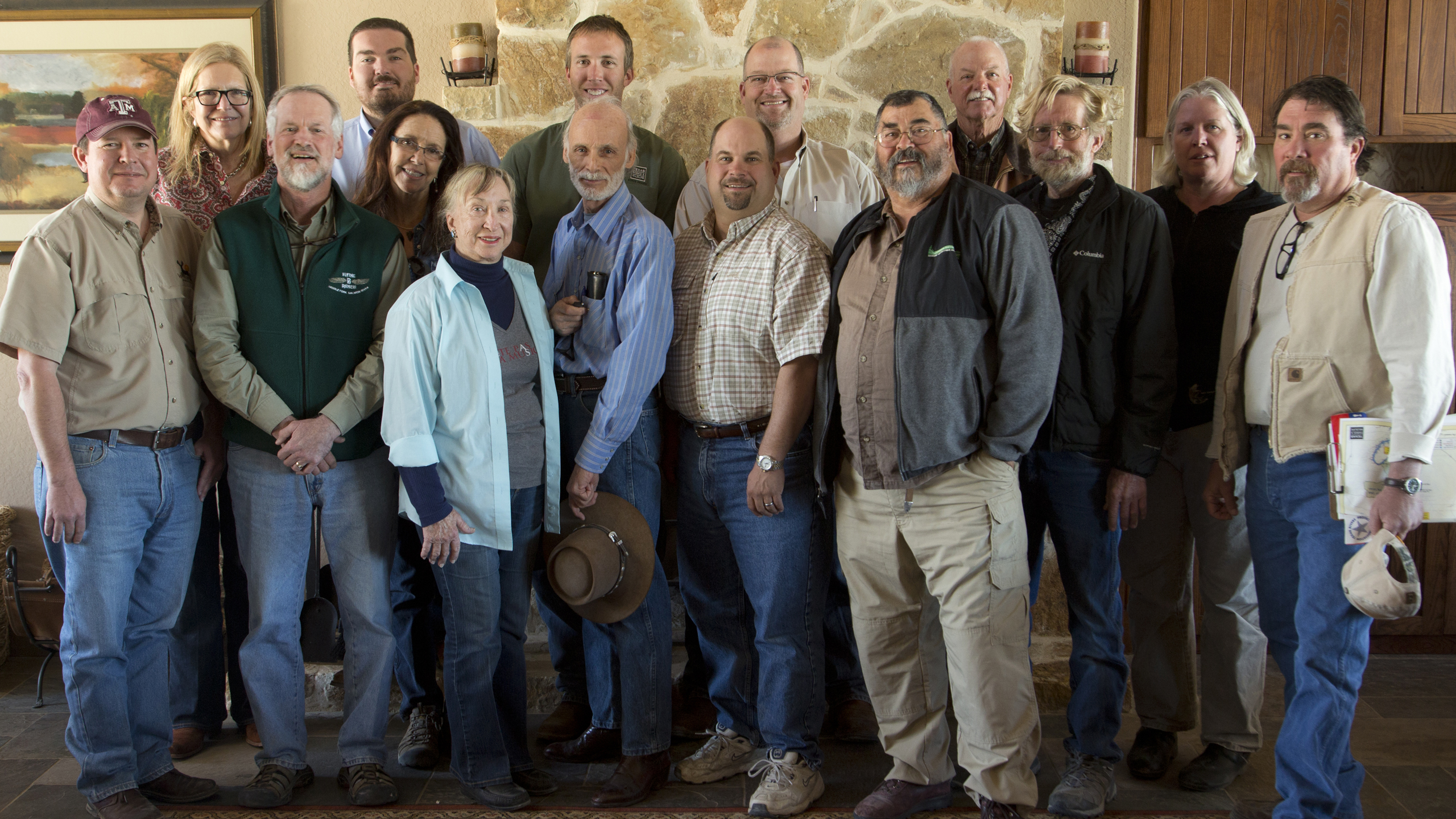
To their credit, TPWD implemented a group of stakeholders to fairly address the issues, the Devils River Working Group in 2011, an advisory board of local landowners, ranchers, paddlers, anglers, outfitters and other stakeholders. TRPA was well represented at the 2011 and 2013 sessions and paddle trips. The charge of the DRWG was to find common ground between landowners, paddlers and fishers to protect the river corridor for the long term. The DRWG submitted its recommendations to TPWD Commissioners in January, 2012. DRSNA completed the pilot permit program (DRAP) in 2013. The Devils River Working Group II met several times and completed the updated DRWG II Action Plan in July 2014. In 2017, two additional official paddler camps at M12 and M20 were announced.
Digging ‘cat holes’ on the Devils does not work. There is no dirt. Use a WAG Bag or other method for removing solid human waste. Leave No Trace.
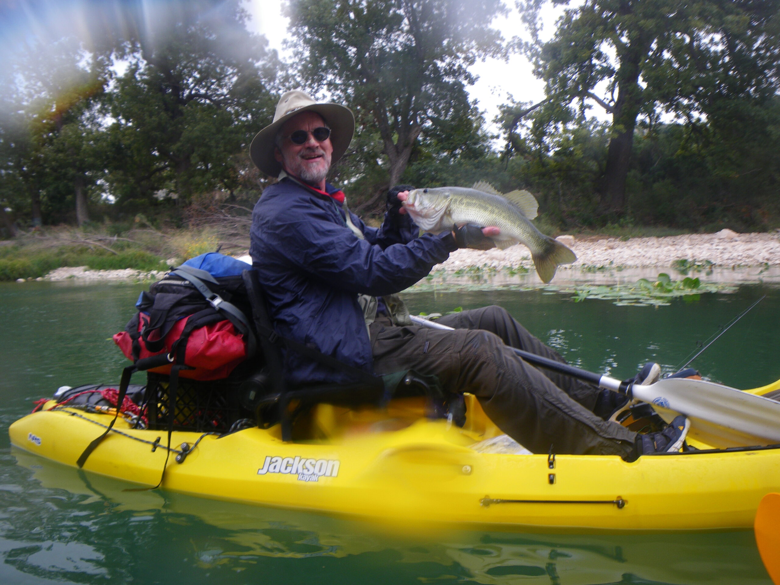
Fishing
The Devils River is a bucket list destination for fishermen. The Devils provides excellent fishing for Smallmouth Bass, Large Mouth Bass, various sunfishes, catfish and gar.
- Expedition Outfitters
- Fly-Fishing the Texas Hill Country, by Kevin Hutchison
- Devils River Angling Records
- Devils River Fishing Regulations
Additional Resources
Video: Devils River Paddler Manual
Preparing for a Devils River Trip
Devils River State Natural Area Web Page
Paddler camps at M12R, M15L, M20L, M29L
Texas River Guide: “If A River Runs Through It, What law Applies?”
Texas River Guide: The Gradient Boundary
DO NOT TRESPASS! DO NOT LITTER! CARRY OUT ALL HUMAN WASTE!
Devils River Conservancy River Conditions
Devils River IBWC Gages (CMS x 35.3 = CFS)
TPWD Texas Rivers / Streamflow