Overview
The Clear Fork of the Trinity River rises in Parker County and flows to Benbrook Reservoir in southwest Ft. Worth before it ends at the confluence with the West Fork Trinity in downtown Ft. Worth. The river is lined with Bur Oak, Cottonwood, Sycamore, Pecan, Hackberry and Elm trees that form a canopy on at least one side of the river. Some sections above Benbrook Lake may be navigable in high water with all precautions taken.
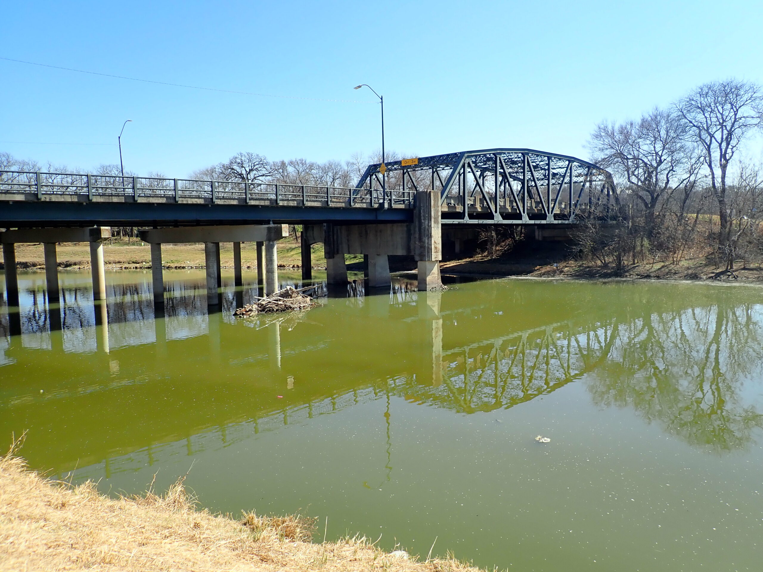
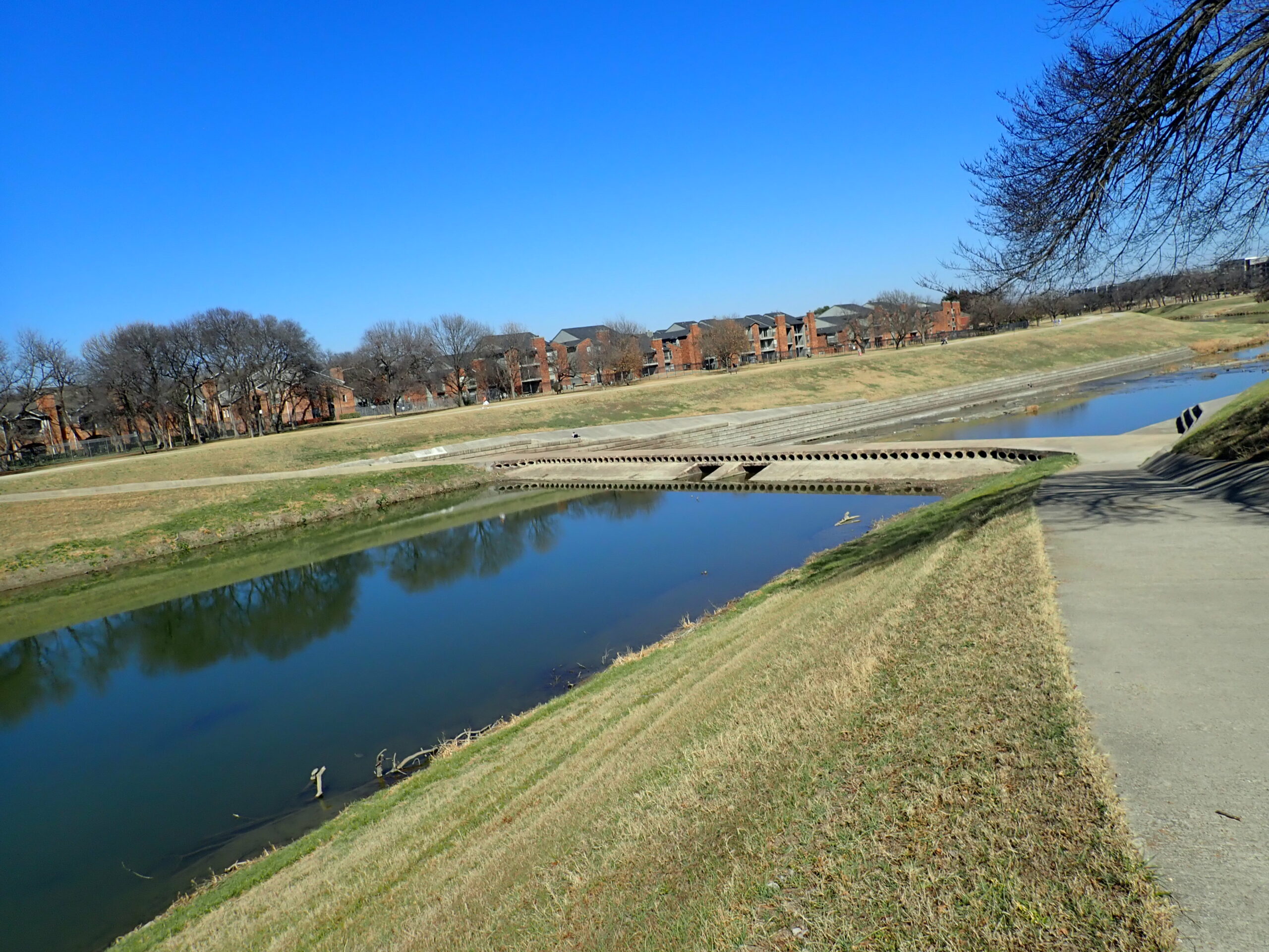
Below Benbrook Dam the Clear Fork is heavily wooded especially as it flows past Ridglea and Colonial Country Clubs. Ideal flow for trips below Benbrook Dam is about 150-250 cfs and you must keep an eye on the gauges to ever catch it at this ideal flow. Higher flows might be risky between the dam and Loop 820, where a 4-mile stretch is subject to log jams and not normally recommended. However, the 4.8 miles stretch from Art Cowsen Trailhead to Bryant Irvin Rd. can be quite lovely when low water, log jams or fallen trees do not present a problem. Perhaps we will have an up-to-date report soon.
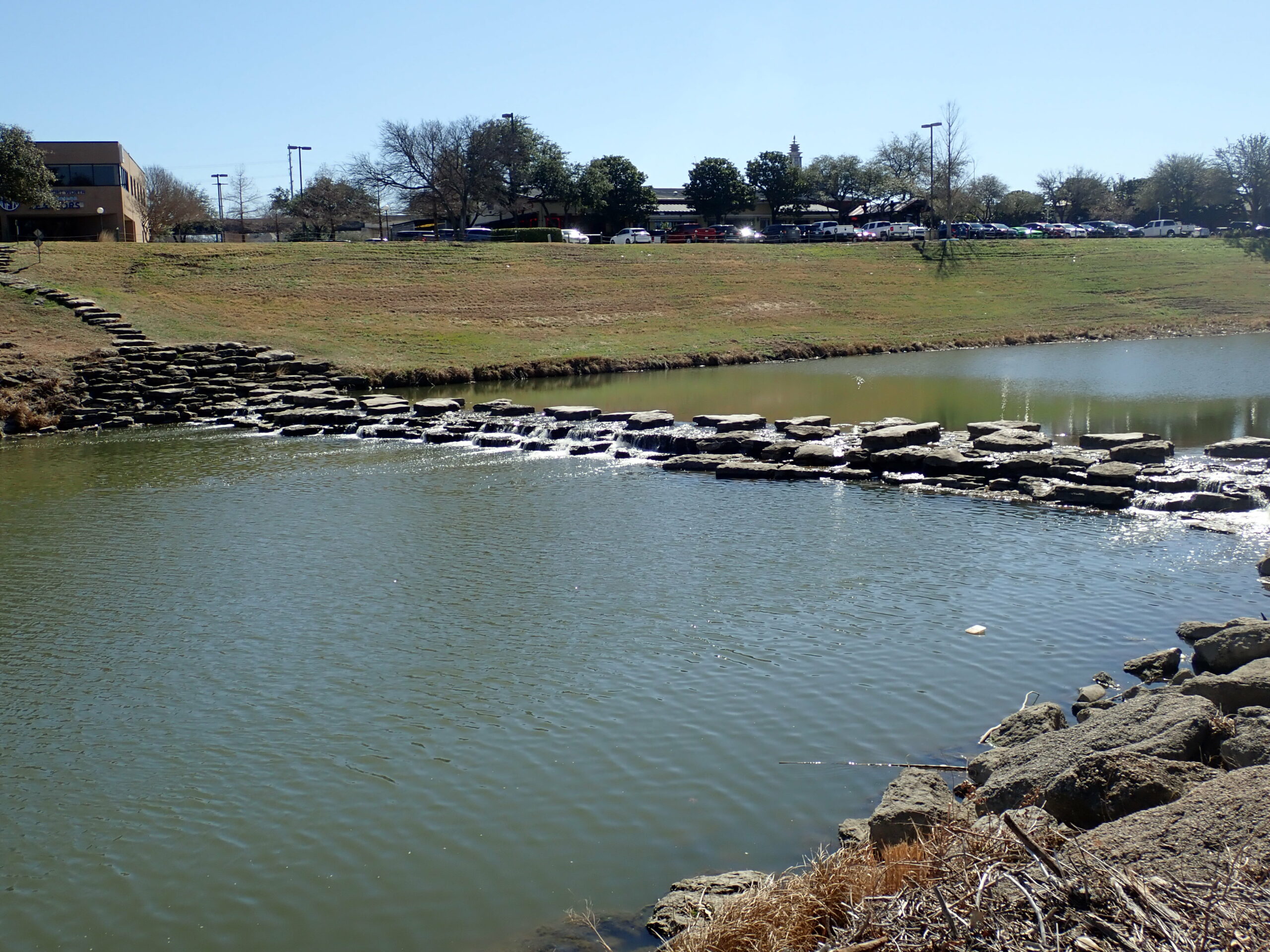
At Trinity Park on the west side of downtown Fort Worth, a series of chutes was originally constructed before 2000. It consists of drops made from reconstruction of old, concrete dams with slot drops that create whitewater rapids in the range of Class II-II+ depending upon flow rate. The entire run is about a half mile in length, and allows easy access to and from the river with adjacent parking at nearby lots within the park. From Panther Island, it is also possible to paddle upstream to Trinity Park.
Trinity Coalition Maps and Gauge interpretations.
Recreation and Access
Quick Info
| Length | 4 trails total 12 miles: 4.8, 3.4, 1.5, and 1.8 miles + other options |
| Class (I-VI) | I-I+ |
| Minimum Flow | 100 cfs |
| Ideal Flow | 150-250 cfs |
| Maximum Flow | 2,000 cfs |
| Current River Conditions | USGS near Benbrook |
| Put-in maps | Art Cowsen Trailhead, Bryant Irvin Rd., Rogers Rd., Trinity Park |
| Take-out maps | Bryant Irvin Rd., Rogers Rd., Trinity Park, Panther Island |
| Boats | Canoes, Kayaks, |
| Season | Year around |
| Highlights | Forest canopies, urban paddling, fun splashy chutes |
Featured Runs
Launch Site Maps
- Clear Fork, Art Cowsen Trailhead to Clear Fork, Bryant Irvin Rd. (4.8 miles)
- Clear Fork, Bryant Irvin Rd. to Clear Fork, Rogers Rd (3.4 miles)
- Clear Fork, Rogers Rd. to Clear Fork, Trinity Park (1.5 miles)
- Clear Fork, Trinity Park to Panther Island Confluence (1.8 miles)
Natural Features
Vegetational Areas in the Upper Trinity Basin are Blackland Prairies to the east and Cross Timbers & Prairies as you move upstream into Tarrant County and further west on the Clear Fork and West Fork.
Historical / Cultural Significance
Clear and West Forks: Fort Worth’s rivers are now popular paddling destinations at the edge of downtown and are relatively clean except after medium to heavy rains.
Conservation and Threats
Urbanization and increased non-point pollution. A Waste Water Treatment Plant is planned on Mary’s Creek. But TRWD is opposed to dumping treated water into Marys Creek, instead proposing to pump treated water up to Lake Worth. Bacterial infections are easy to contract. Use soap and clean water, especially with open sores on hands or feet.
Fishing
The Clear Fork is stocked with Rainbow Trout in winter months by TPWD. Largemouth bass and a variety of Sunfishes are common in the Clear Fork and in tributary creeks such as Mary’s Creek. Tarrant Regional Water District sponsors TRWD FlyFest annually in March.
Additional Resources
Tarrant Regional Water District