Overview
The Sabine flows 550 miles from the confluence of Cowleech and South Forks in northeast Texas until reaching its mouth on Sabine Lake at the Gulf of Mexico. The Sabine drains an area of about 9,800 square miles in Texas and Lousiana. The river flows through the piney woods of deep East Texas and forms the meandering boundary between Texas and Louisiana that is obvious south of the vertical eastern boundary. “Sabine” is Spanish for “Cypress”, and describes the character of the river as it flows between banks lined with ancient Bald Cypress trees. The Sabine pushes almost 7 million acre-feet into the Gulf annually, and is the single largest volume river in Texas in terms of its discharge. The upper Sabine is controlled by dam releases from Lake Tawakoni and the lower Sabine is controlled by releases from Toledo Bend Reservoir. Straddling the Texas / Louisiana state line since 1969, Toledo Bend is the largest reservoir in the Southern US at 185,000 acres and 110 feet maximum depth. At least once a year over the last few years, spring rains have briefly spiked flow to 40-50,000 cfs on the Burkeville gauge. In March 2016 the gauge reached ~250,000 cfs. It must be quite a sight to stand at the base of Toledo Bend Dam while 250,000 cfs shakes the ground. It is common to see summertime daily hydro-electric generation rates of 10,000 cfs. The dam’s two hydroelectric power generators boast a generating capacity of 92,000 kilowatts.
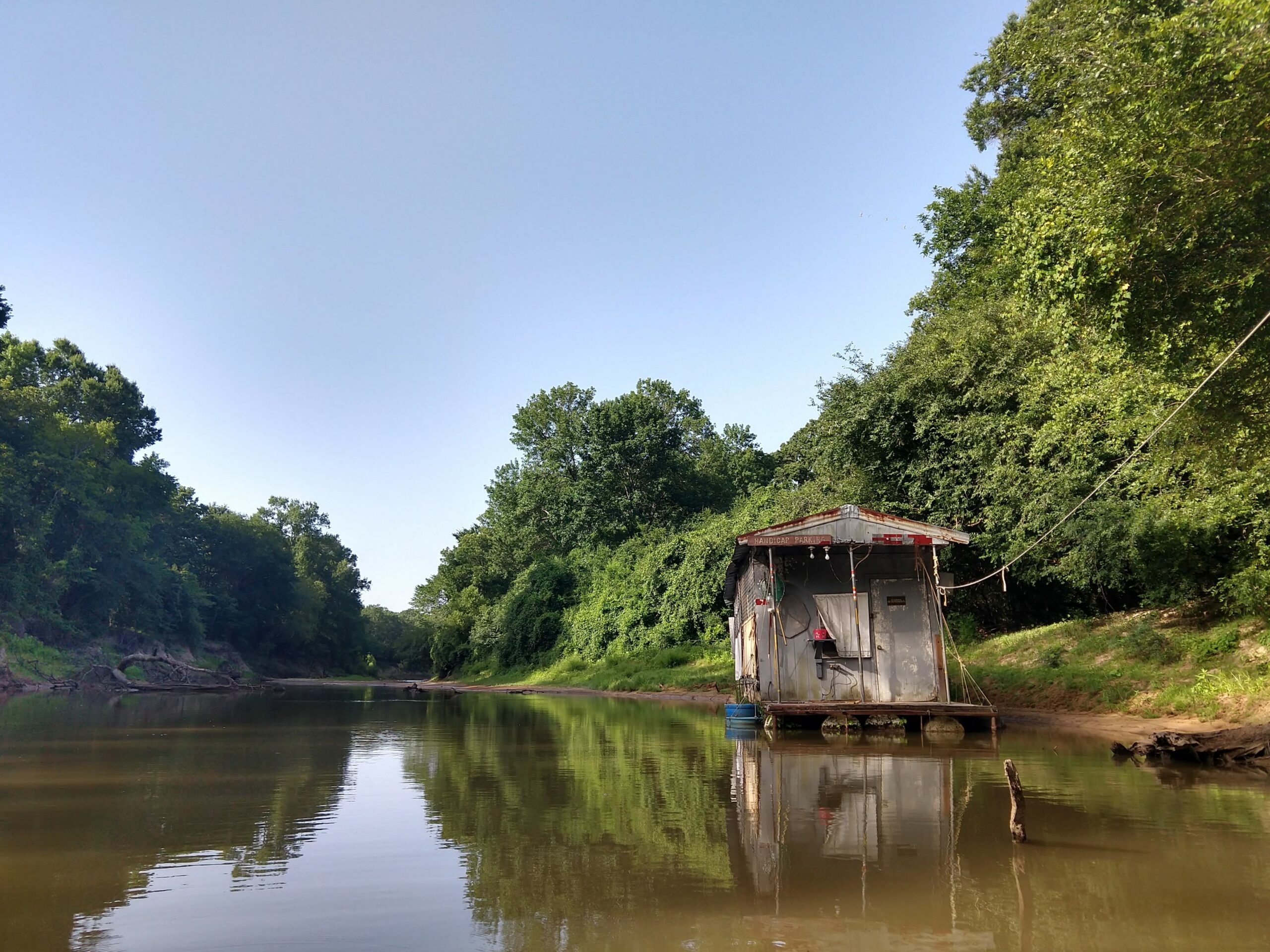
Recreation & Access
Trips of about 10, 20, 30, 40 and 50 miles can be had using public and/or private access between Toledo Bend Dam and US Highway 190. Ideal flow between 500-5000 cfs. Summertime afternoon power surges of 10,000 cfs are common.
Quick Info
| Length | 10 or 50 miles; 20, 30 or 40 miles may be arranged via Jayhawkers Canoe Trails |
| Class (I-V) | I-II |
| Minimum Flow | 300 cfs |
| Ideal Flow | 500-5000 cfs |
| Maximum Flow | 10,000 cfs |
| Current River Conditions | USGS Burkeville |
| Put-in maps | Below Toledo Bend Dam or Hwy 63 |
| Take-out maps | Hwy 63 or US Hwy 190 |
| Boats | Canoes, Kayaks |
| Season | Year around |
| Highlight | Beautiful sandy beaches, great fishing and birding |
Feature Runs
Above Toledo Bend Reservoir
- US-59 to FM-2517 [29 miles]
- Sabine Sandbar Paddling Trail [4 miles, 15 miles or 19 mile options]
- Upper Sabine Trip Report, Dec 2014 – Earl Atnip
Below Toledo Bend Reservoir
- Below Toledo Bend Dam to Hwy 63 [10 miles]
- Hwy 63 to US Hwy 190 [40 miles]
- Hwy 190 to Orange, TX Boat Ramp [103 miles]
- Sea Rim State Park – Sabine Pass [1.79-mile easy paddle trail and 9.59-mile advanced paddle trail]
- Lower Sabine Trip Report, May 2012 – Earl Atnip [28 miles]
Historical/Cultural Significance
Archeological evidence indicates the valley of the river has been inhabited for as long as 12,000 years by indigenous peoples. Starting in the eighth century, the Caddo inhabited the area, building extensive earthwork mounds in complexes expressing their cosmology. The Caddo culture flourished until the late 13th century. Descendants of the Caddo were living along the river when the first European explorers arrived in the 16th century. The river was named in 1716 by Spanish explorer Domingo Ramón, and appeared as Río de Sabinas on a 1721 map. The river was used by French traders, and at various times, the river was claimed by both Spain and France. The Sabine River was too deep to ford but did prove to be navigable. Early travelers and settlers would have to swim the river on horseback and cattle would have to be driven into the river to swim across. Ferries were later put into service. By the 1840s, steamboats were traveling from Logansport, LA to Sabine Lake on the Gulf.
Natural Features
Bald Cypress, Taxodium distichum, are among the biggest, tallest and longest-lived trees in Texas. Some have reportedly reached an age of 800 to 1,200 years. Bald cypress were around with the dinosaurs. When young, they’re shaped liked Christmas trees, but as they age, the crown tends to open up and the branches lift skyward, forming a massive, lofty, overarching canopy. Bald eagles and ospreys take full advantage of the height of these trees to nest on the river. Cypress are famous for their “knees”, which are thought to provide oxygen to the roots and/or to serve as anchors. Hanging from the Bald cypress trees, the ubiquitous Spanish moss (Tillandsia usneoides) is neither Spanish nor is it a moss. It is an epiphytic flowering plant that often grows upon large trees in tropical and subtropical climates.
Fishing
The mainstays of the Sabine fishery are Catfish and Bass. Sabine River Largemouth Bass are more active than their Toledo Lake brethren; therefore, river bass are smaller but pound for pound, are more fun to catch. The prehistoric Alligator Gar is a common fish sighted on the Sabine and for which the Sabine River record is 245 pounds. The Alligator gar spawns in flooded bottomlands. When irregular spring flooding of the Sabine River inundates these areas (and temperatures are 68-82F [20-28C]), Alligator gar will move from the main channel into tributary Creeks and branches. In low-lying vegetated areas (up to one mile from main channel), the female Alligator gar will lay eggs and males will fertilize them. A female will lay an average of 150,000 bright red eggs. If ingested, these eggs are poisonous to humans and other predators. The eggs will hatch in as few as 48-72 hours. When the floods subside, fingerlings follow the creeks back to the main channel. For this reason, TPWD regulations restrict Alligator gar fishing in spring or fall flooding conditions. TPWD Alligator Gar Special Restrictions and Reporting.
Additional Resources
Flows