Overview
The San Antonio River rises at San Antonio Springs and San Pedro Springs four miles northwest of downtown San Antonio. The springs are located mostly on the Incarnate Word campus near Broadway and Hildebrand Avenue. There are several major spring outlets and thousands of small springs extending north into the Olmos Basin, and many still flow during wet times. The largest spring, known as The Blue Hole, and many of the smaller springs are now protected in the nature preserve Headwaters Sanctuary, established by the Sisters of Charity of the Incarnate Word in 2006.
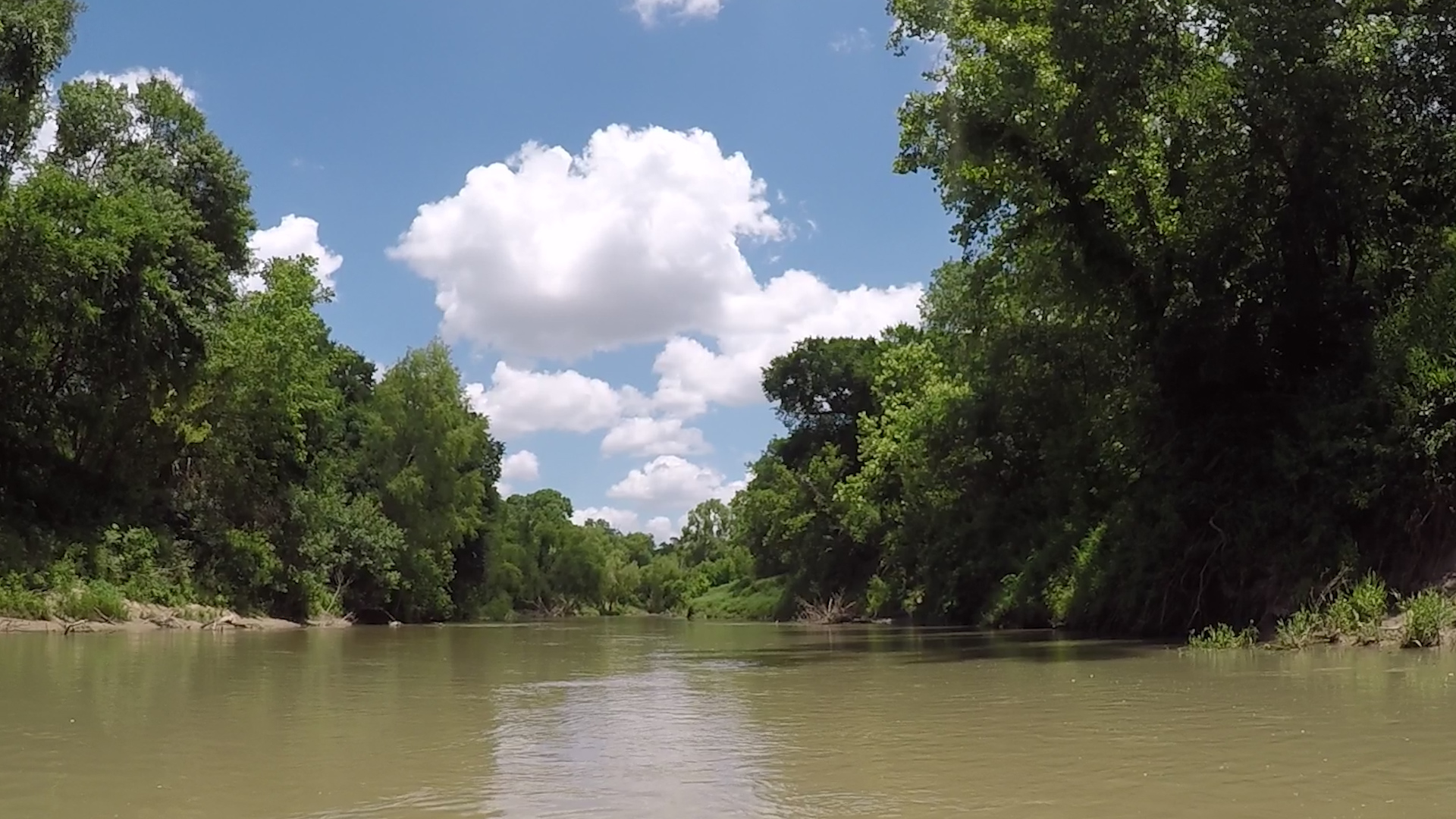
The little mission first established at San Pedro about 1700 was later moved to the downtown site of the better-known Alamo Mission. In San Antonio the river no longer follows its natural course since the river channel was altered to create the 15-mile (24 km) San Antonio River Walk. The River Walk was extended north in 2009 and south in 2013. Most of the river flows through the concrete diversion channel through downtown San Antonio. The Medina River feeds into the San Antonio River in southern Bexar County, and Salado Creek and Cibolo Creek feed the San Antonio River from its river left watershed. From Bexar County, the river meanders southeasterly 236 miles to its confluence with the Guadalupe River just ten miles upstream of San Antonio Bay on the Gulf of Mexico. Along the way, the river is fed by numerous clear springs and there are scenic waterfalls near Falls City between Floresville and Hobson but there are no rapids of any consequence.
Recreation and Access
Quick Info
| Length | Up to six options of 5.6-12.1 miles |
| Class (I-VI) | I-II |
| Minimum Flow | Always adequate flow, rarely below 200 cfs |
| Ideal Flow | 300 cfs |
| Maximum Flow | 2,000 cfs |
| Current River Conditions | SARA: All conditions; USGS: San Antonio; Falls City, Goliad; |
| Put-ins | See featured runs below |
| Take-outs | See featured runs below |
| Boats | Canoes, Kayaks, SUP |
| Season | Year around, dependable flow |
| Highlight | Object of restoration. Chutes! |
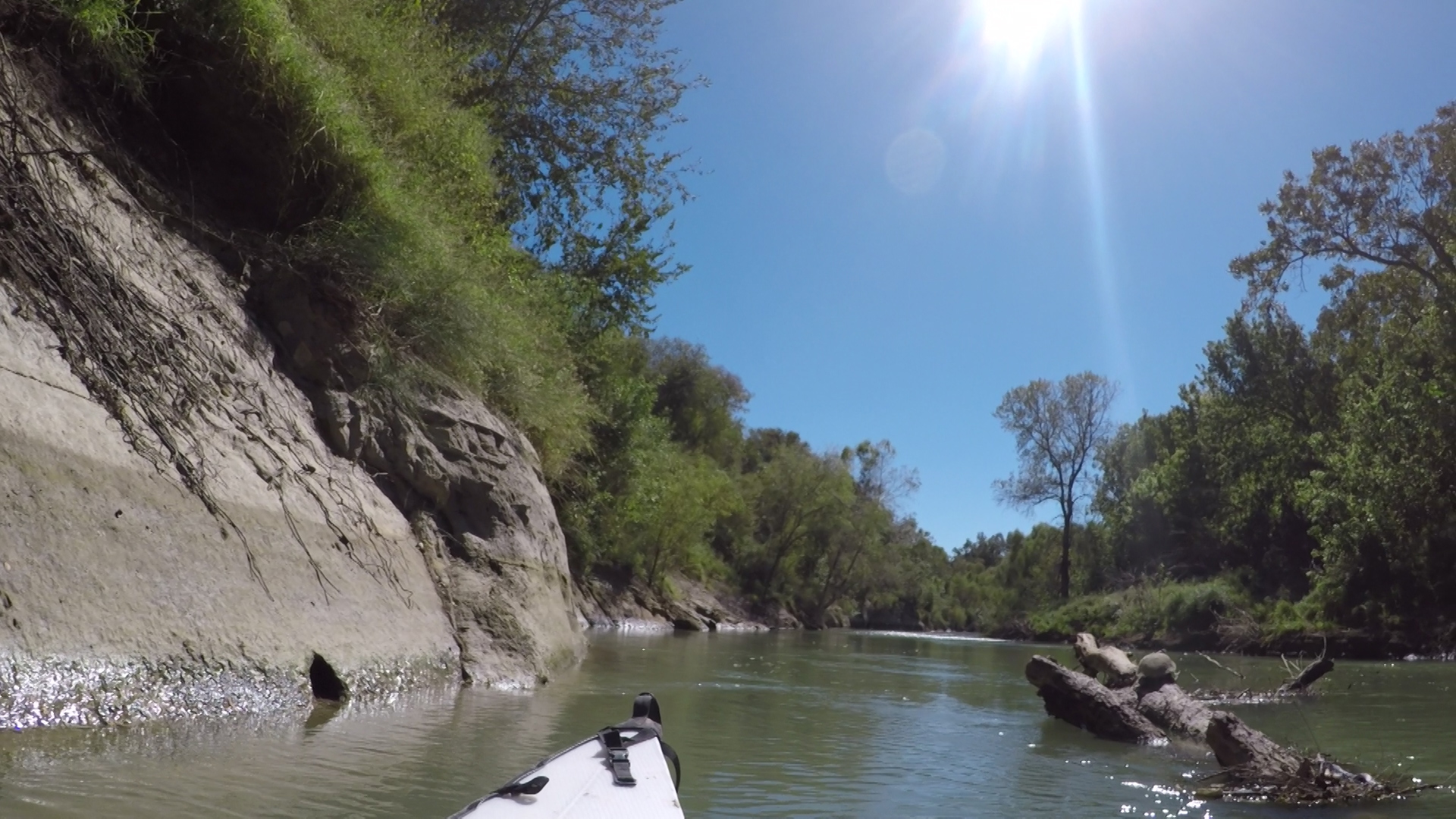
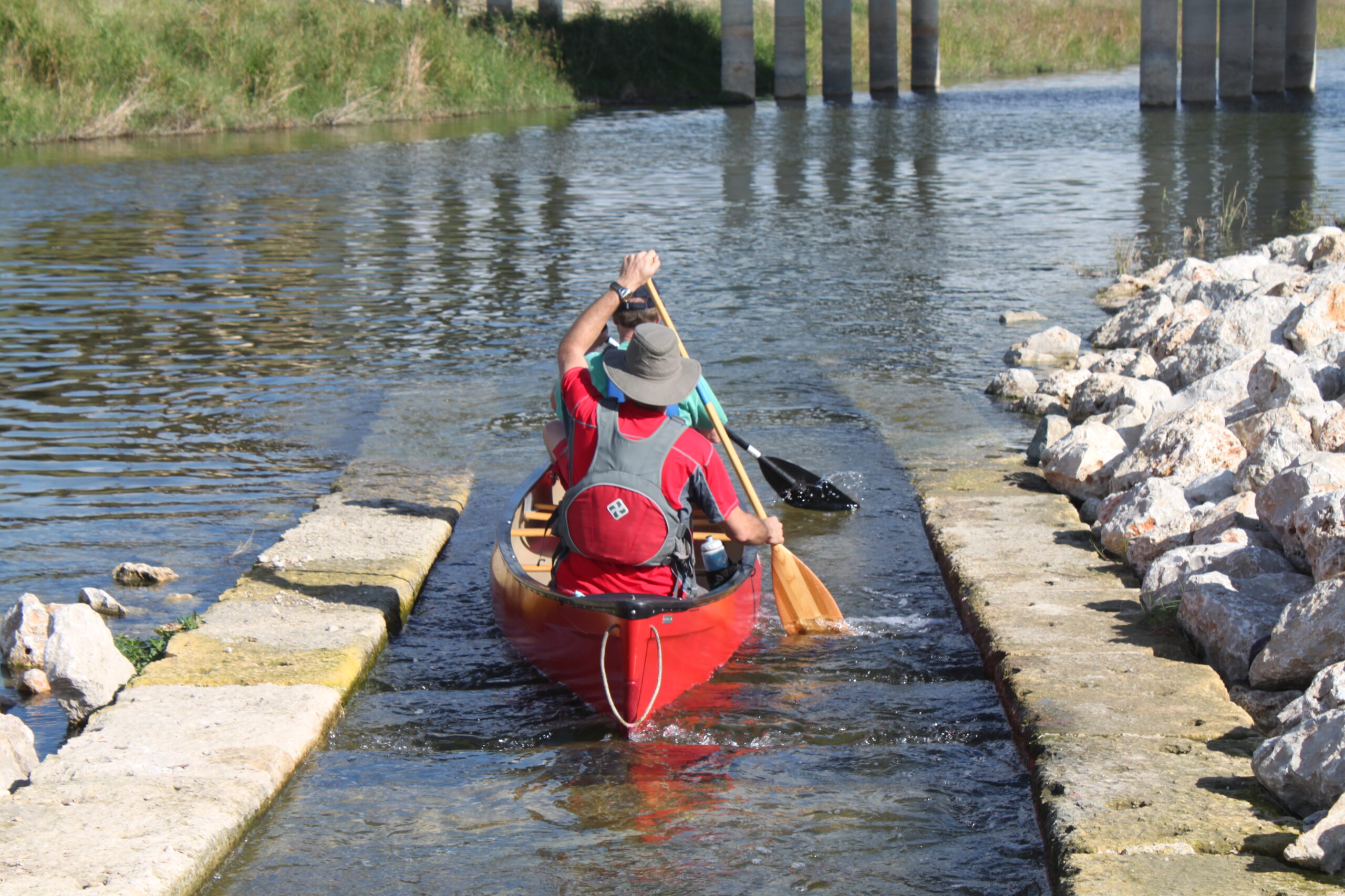
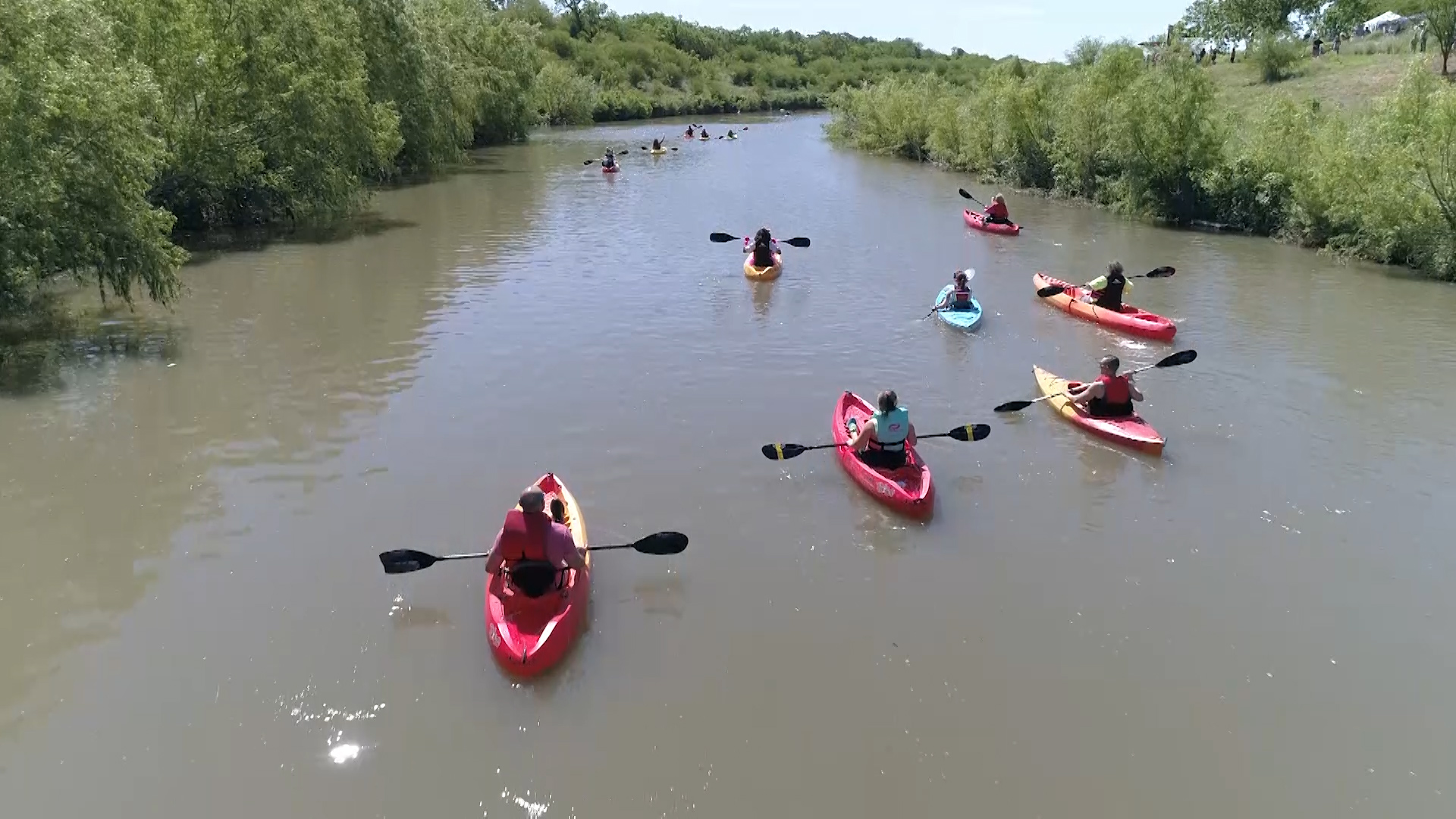
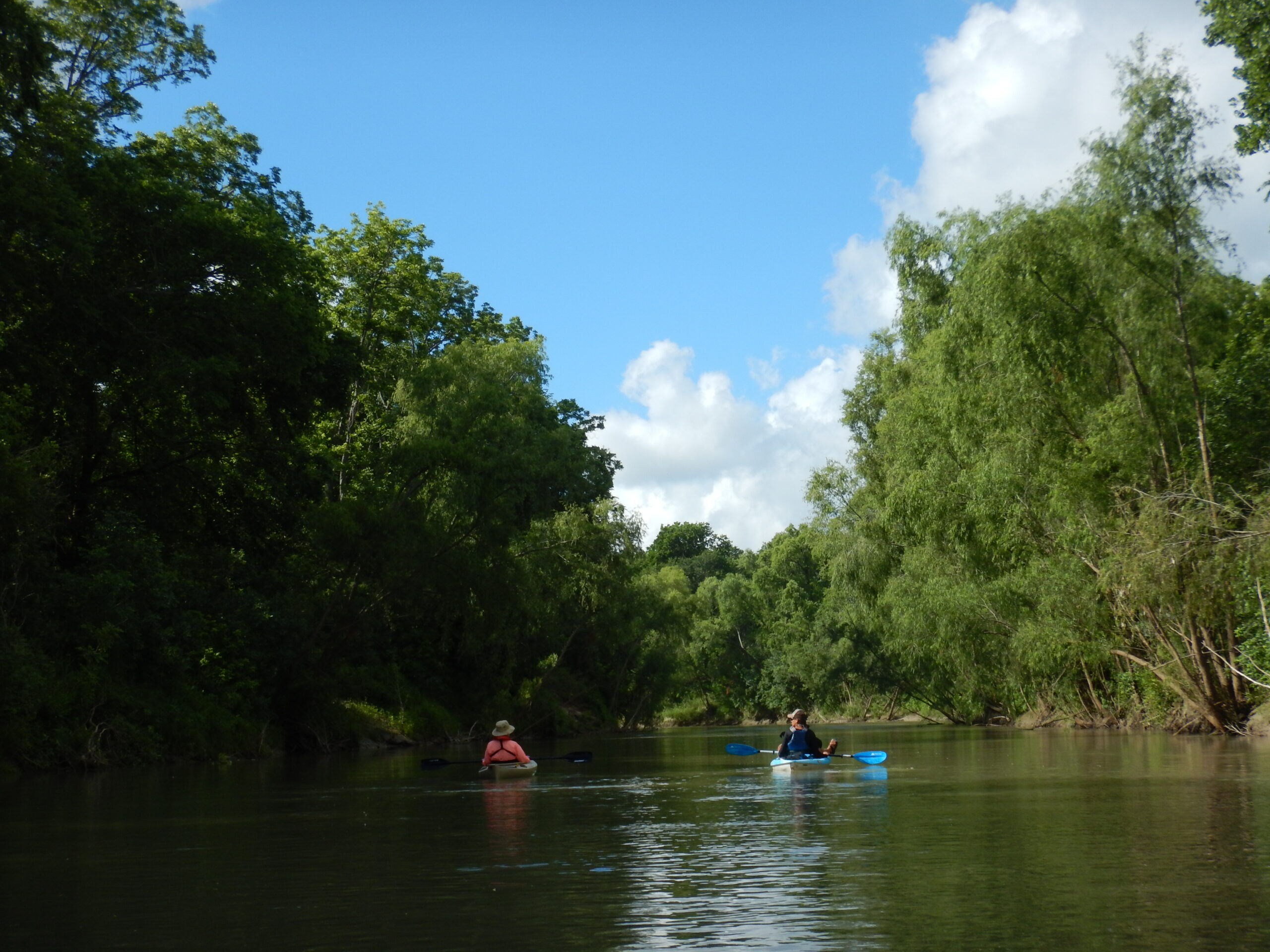
Because of restrictions imposed by the City of San Antonio, private recreational paddling is generally not allowed above city limits. Refer to this letter from S.A.R.A. for specific restrictions on paddling the San Antonio River in the city. Even in times of low water levels, the San Antonio River dependably provides good current for paddling south of San Antonio. The San Antonio River Authority (SARA) operates close to 60 miles of paddling trails within the San Antonio River Basin. Below are the SARA-featured runs.
Featured Runs
Urban Trails
- Downtown section of the San Antonio River Walk: The City of San Antonio does allow for paddling in the historic downtown River Walk, typically on weekend mornings. Paddlers can rent equipment from Go Rio Cruises or pay a small access fee if you’re bringing your own equipment. The downtown River Walk paddling is closed over the winter months and will reopen in Spring 2022. Check out Go Rio Cruises to learn more.
- Other River Walk sections: Both of these River Walk paddling trails are open to the public every day during daylight hours from dawn to dusk.
- King William Paddling Trail (1.5 miles). This is a section of flat water through the King William Area downtown. The access point for both put-in and take-out is a concrete boat ramp next to 100 E. Guenther Street, office of the San Antonio River Authority.
- Eagleland Paddling Trail (0.5 miles) This section also has one access point, at the River Walk near the corner of Guenther Street and Eagleland Drive.
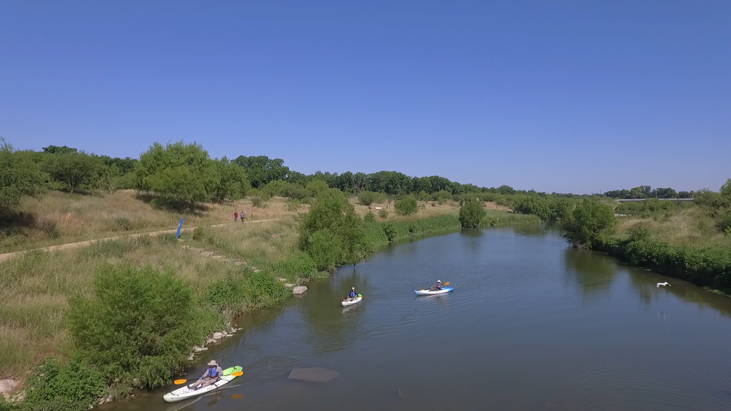
- Mission Reach Paddling Trail (8.0 miles). The Mission Reach is one of the nation’s largest urban ecosystem restoration projects. It has several access points for people to plan their trip around the length they wish to paddle. The paddling trail begins at Lone Star Boulevard across from Roosevelt Park and ends at Mission Espada, just south of Loop 410. SARA has also produced short videos in English and Spanish to help promote these three paddling trails (English part 1/part 2 and Spanish part 1/part 2).
Rural Trails
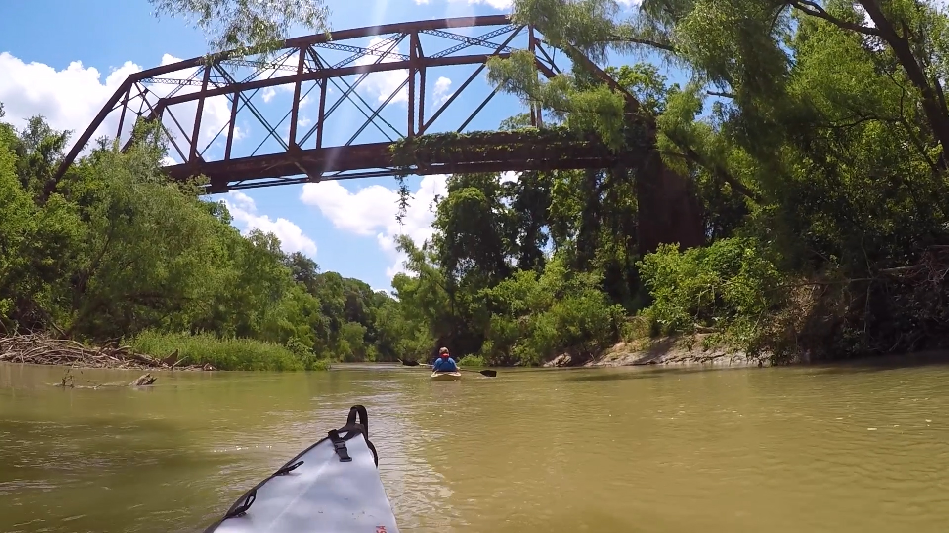
- SASPAMCO Paddling Trail [30 miles total] This trail—named after a small community in northern Wilson County whose name is an acronym for the San Antonio Sewer Pipe and Manufacturing Company, the predominant employer in the community until the 1960s. This paddling trail has several put-in and take-out points, starting in southern Bexar County and ending near Floresville in Wilson County. There can occasionally be log jams on the SASPAMCO Paddling Trail. SARA will post known log jams on the parks and trails page of their website (sariverauthority.org) to warn the public.
- River Crossing Park to Graytown Park [5.75 miles]
- Graytown Park to Helton Nature Park [6.5 miles] Overnight camping is allowed in Helton Park.
- Helton Nature Park to CR-117 [9 miles]
- CR-117 to Floresville River Park [8.5 miles].
- Goliad Paddling Trail – [18.3 miles] This paddling trail is about 18-miles long, all in Goliad County. There are access points at Riverdale Rd., Hwy-59, Ferry St. (in Goliad near Branch River Park), and the final take-out point is at the Goliad State Park. Plans are underway to expand the Goliad Paddling Trail northward by adding another access point in the next year at Hwy-239 – this will add close to 15 additional miles to make the entire paddling trail close to 35 miles. The River Authority has also produced short videos in English and Spanish to help promote the Goliad Paddling Trail (English part 1/part 2 and Spanish part 1/part 2). There can occasionally be significant log jams on the Goliad Paddling Trail and SARA will post known log jams on their website (sariverauthority.org).
- TPWD: Goliad Paddling Trail [6.6 miles] Texas Parks & Wildlife Department has featured a portion of the SARA trail.
- SARA does not recommend paddling south beyond Goliad State Park; but if paddlers venture on, they are encouraged to get out at the Duke Ranch Road bridge (CR-2506) in Goliad County – which is about 22-miles downstream from Goliad State Park. In the stretch of river between Duke Rd. and the confluence with the Guadalupe River, there are often massive log jams which are not passable, so paddlers may end up having to portage across private ranch land.
Historical / Cultural Significance
Prior to the arrival of the Spanish, indigenous people —later named Coahuiltecans—lived along the San Antonio River. The Payaya people, a band of Coahuiltecans, used the San Pedro Springs as one of ten encampments that were located east and west of Bexar before the 1700s. The first documented record of the present-day San Antonio River was from Cabeza de Vaca, the Spaniard on his explorations of Texas in 1535. (Read more)
Natural Features
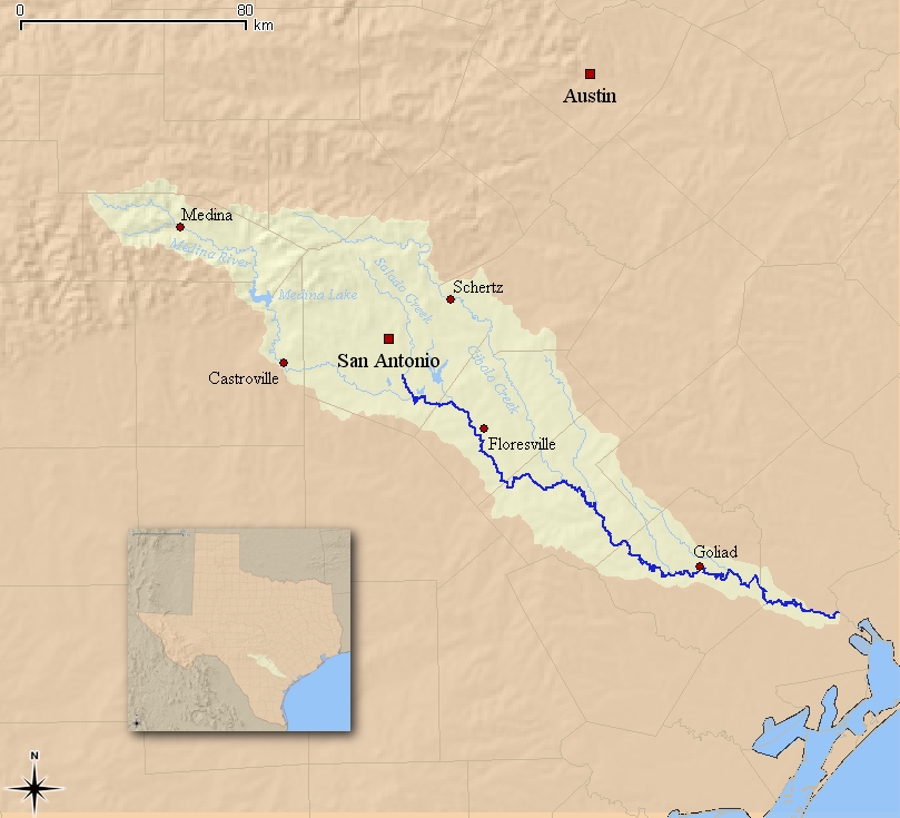
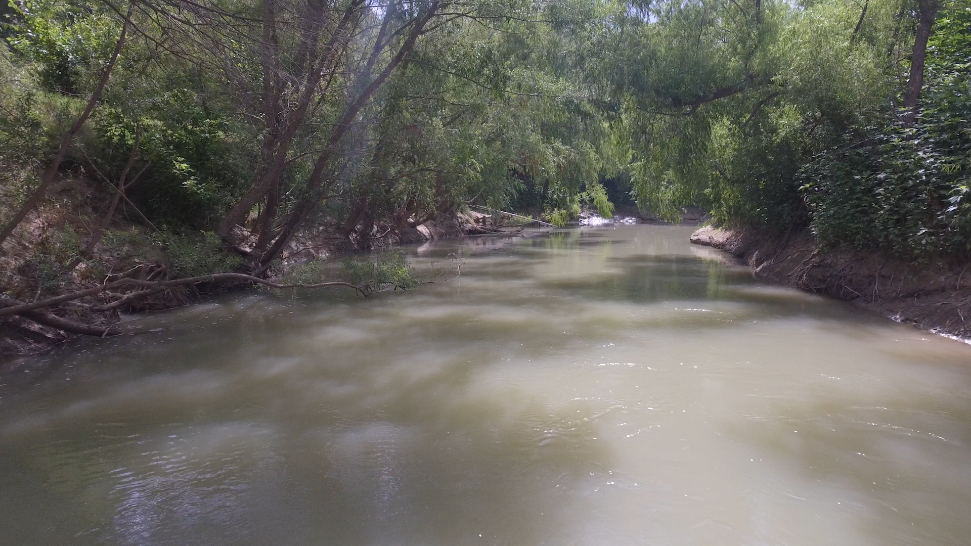
Riparian trees include cottonwood, sycamore, elm and willow, and natural coastal grasses. After exiting the urban environment of Bexar County, the San Antonio River becomes a mostly remote, scenic and secluded valley of diverse, wild flora and fauna, birds and many species of fish can be found along and in the river. Along the way, the river is fed by numerous clear springs and there are scenic waterfalls near Falls City between Floresville and Hobson but there are no rapids of any consequence. Karst geology, aquifers, caves, spring fed creeks and rivers.
Conservation and Threats
Historically, spring water from the Edwards Aquifer is the source of the San Antonio River. As the City of San Antonio has grown over 300 years since the Spanish colonial settlements, the Edwards Aquifer has been the city’s primary source of drinking water. The level in the aquifer is frequently drawn below the artesian level resulting in the headwater springs running dry, including the Blue Hole and the San
Pedro Springs. (Read more)
Additional Resources
- The 2022 San Antonio River Basin Paddling Race Series
- Video: The 2022 San Antonio River Basin Paddling Race Series
- Video 1: Goliad Paddling Trail on the San Antonio River
- Video 2: Goliad Paddling Trail on San Antonio River
- Video 3: Canoe Trail Goliad
- Video SARA: River Crossing Park to Helton Nature Park (en Espanol).
- Video SARA Documentary: The Story of the San Antonio River (2014)
- Trip Report: SASPAMCO Paddling Trail by Saturday Paddlers
- San Antonio Report: River Trash Problem
- Edwards Aquifer Authority
- SARA
- TPWD Texas Rivers / Streamflow
- Presidio-La Bahia, Goliad, Texas
- 1https://presidiolabahia.org/texian-war-for-independence