Quick Info
| Length | 46 miles |
| Class (I-VI) | I-II |
| Minimum Flow | 200 cfs |
| Ideal Flow | 300 – 2,000 cfs |
| Maximum Flow | 5,000 cfs |
| Current River Conditions | USGS Castolon |
| Put-in map | Santa Elena |
| Take-out map | Talley |
| Boats | Canoes, Kayaks, Rafts |
| Season | Year-round, weather/flow permitting |
| Highlight | Panoramic scenic vistas, remote wilderness experience |
| Distances to Castolon | Dallas 625 miles; Houston 660 miles; Austin 500 miles; El Paso 340 miles |
Recreation & Access
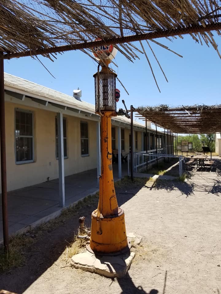
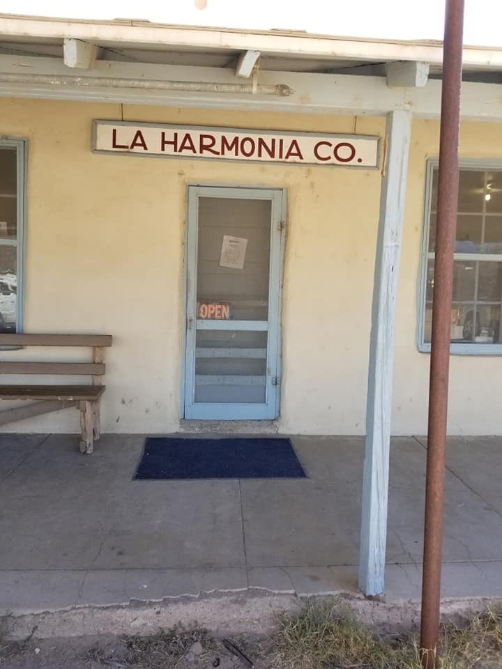
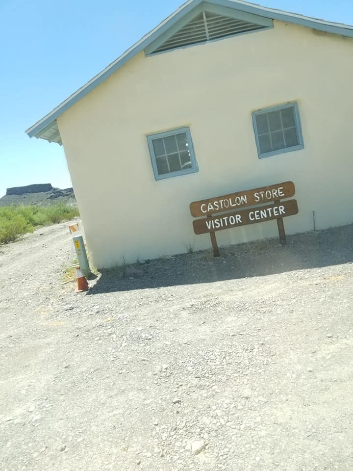
This long, flat section is likely the least visited stretch of river in the National Park. Good campsites and wide vistas make this remote section a great multi overnight trip. Strategic access way points are at: Cottonwood C.G. / Castolon (6 miles), Buenos Aires (11 miles), JR Gauge (22 miles), Johnson Ranch (24 miles), Loop / Reed Camp (29 miles), Jewel Camp (32 miles), Woodson’s Camp (34 miles). Although you can normally drive your own high clearance or 4WD vehicles on River Road, shuttles arranged through one of the Terlingua outfitters listed below are recommended. Always tie up your boats overnight because you just never know when winds or a pulse flow from upstream rains or a release from Mexico reservoirs might surprise you. It happens!
Conservation & Threats
Bacterial infections are easy to contract. Use soap and clean water, especially with open sores on hands or feet. Development encroachment, water pollution. Invasive Giant reed (Arundo donax) and salt cedar or Tamarix are ubiquitous along the river banks.
Historical/Cultural Significance
Conflict with Mexico continued when the United States annexed Texas as a state in 1845. Mexico claimed that the new border between Texas and Mexico was the Nueces River, while the United States contested the border was the Rio Grande. The Treaty of Guadalupe Hidalgo, that brought an official end to the Mexican-American War (1846-1848), was signed on February 2, 1848, at Guadalupe Hidalgo, where the Mexican government had fled with the advance of U.S. forces. By its terms, Mexico ceded 55 percent of its territory, including parts of present-day Arizona, California, New Mexico, Texas, Colorado, Nevada, and Utah, to the United States. Mexico relinquished all claims to Texas, and recognized the Rio Grande as the southern boundary with the United States. The United States paid Mexico $15,000,000 “in consideration of the extension acquired by the boundaries of the United States” (see Article XII of the treaty) and agreed to pay American citizens debts owed to them by the Mexican government. The treaty gave rise to development of the IBWC International Boundary and Water Commission which governs all concerns of flow and sharing of the boundary waters of the Rio Grande and other boundary waters of New Mexico, Arizona and California.
Natural Features
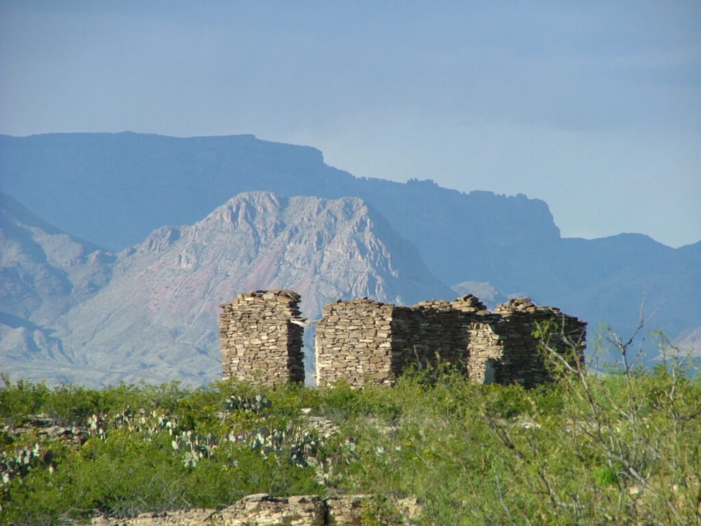
In The Great Unknown there are no canyons to float through but there are huge vistas with the Chisos Mountains dominating the northern horizon.
Additional Resources
- Big Bend National Park, TX 79834 / (432) 477-2251
- The Great Unknown of the Rio Grande by Louis Aulbach
- NPS: Big Bend Home Page
- NPS: Big Bend Daily Report
- NPS: Floating the Rio Grande NPS Page
- NPS: Rio Grande Mileage Tables (PDF)
- NPS: Rio Grande Wild & Scenic
- Far Flung Outdoor Center, Terlingua
- Desert Sports, Terlingua
- Big Bend River Tours
- Angell Expeditions
Flow Information
- IBWC Rio Grande Gages
- IBWC Near Real Time Reports (PDF)
- USGS Gage nr Castolon
- Mexican Reservoir Storage (Rio Concho)