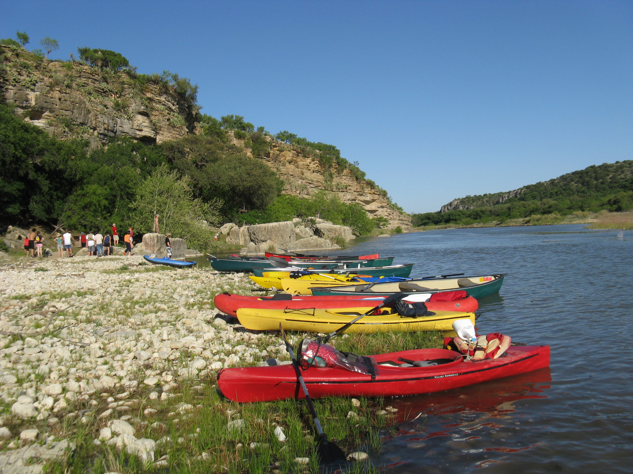
Overview
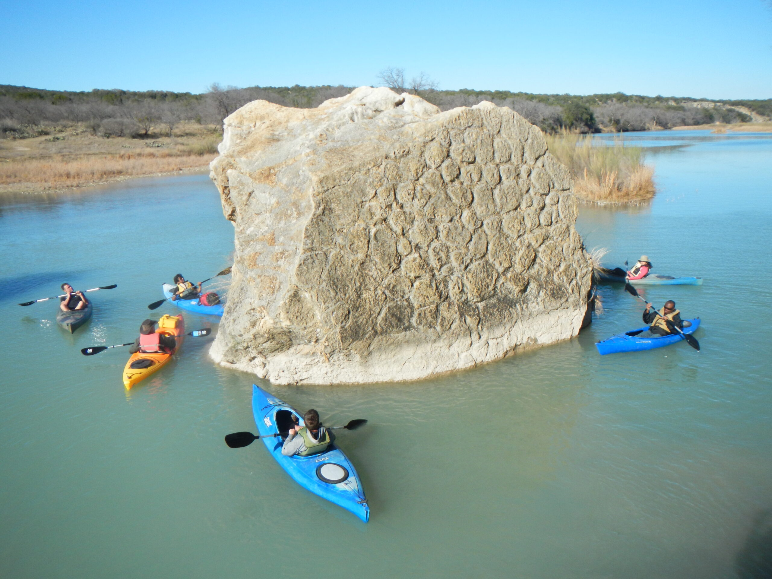
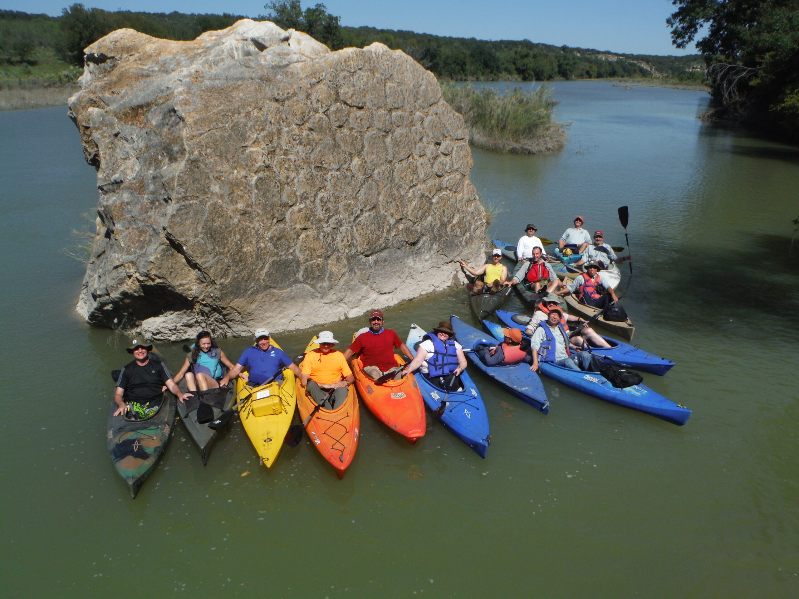
In the “Country of 1100 Springs“, the Llano River rises in two spring-fed branches, the North and South Forks of the Llano. The North Fork rises in Sutton County and runs generally east for about forty miles to its confluence with the South Fork, in the town of Junction. The North Fork is perennially drier than the South Fork, therefore, the North Fork is paddled much less often than the South Fork. The much wetter South Fork rises in Edwards County and runs north and east for fifty-five miles to meet the North Fork in Junction, apparently the reason for the town’s name. The Main Llano River then flows east for about 100 miles on its way to the Colorado River, at Lake LBJ. The South Fork Llano is one of the few Texas rivers that flow generally south to north and east. This fact can be greatly appreciated on a typical spring day when prevailing southwest winds are blowing at your back. Paddling the South Fork is a hoot. Pristinely clear water, Guadalupe bass. Wild Turkeys. Great State Park. Bat caves. Good Tex-Mex in Junction.
Recreation and Access
Quick Info
Featured Runs
Descriptions, Paddling Trails and videos
- South Fork Llano Paddling Trail [6.0 miles]
- Video: SFLR – Second Crossing US-377 at Ford Canyon, upstream .5 mile to falls and back (75 cfs; TG Canoe & Kayak. TG’s paddle from the last southern crossing of the SLR on US-377, up to the falls and back to 377).
- Video: SFLR – Second Crossing US-377 to KC-150 (75 cfs (TG Canoe & Kayak. TG’s paddle 2nd crossing and take out at KC-150, a 4.5 mile trip @ 75cfs, this was just enough water).
- Video: SFLR – KC-150 to State Park Rd. 73 @ 250 cfs (TG Canoe & Kayak. TG’s paddle the SLR from KC-150 to State Park Road, 7.5 miles @ 250 cfs)
- Video: SFLR – State Park Road 73 Bridge to Kimble County Park @176 cfs (TG Canoe & Kayak. TG’s paddle SFLR state park to Junction, 5+ mile trip @ 176 cfs on the Flat Rock Ln gauge, Junction, TX.)
Launch Site Maps
South Llano
- First Crossing US-377 Fleming Draw to Second Crossing US-377 Ford Canyon [1.5 miles] (Falls at Mile 1.0)
- Second Crossing US-377 Ford Canyon to KC-150 Bailey Creek [4.3 miles] (Falls back upstream .5 mile)
- KC-150 Bailey Creek to South Fork State Park Road 73 Bridge [7.5 miles]
- South Fork State Park Road 73 Bridge to Junction City Park 481 Bridge [6.0 miles]
Main Llano
- White’s Crossing FR-1871 to James River Crossing FR-2389 [5 miles, White’s Crossing public accesss to confluence with James River]. Nine miles southwest of Mason. Popular with fly fishers and good boat launch for the float to James River Crossing (4 miles). This access is endangered due to imminent construction of new bridge at White’s Crossing, announced in 2020.
- Video: Main Llano River FR-1871 to FR-2389 [5 miles] @ 120 cfs; TG Canoe & Kayak. TG’s paddle the Main Llano below Junction).
- James River Crossing (SH-2389) to Martin / Simonsville Crossing [6 miles] Public access, 9 miles south of Mason. Respect the no trespassing and use restriction signs. From the bridge, the James River Road leads to the Eckert-James River Bat Cave in 10 miles.
- Martin / Simonsville Crossing to Keller’s Landing (US-87) [3.8 miles]
- Keller’s Landing (US-87) to Castell Crossing (SH-2768) [12 miles] Easiest river access from US-87 is on southeast, via a steep muddy bank. Be careful.
Natural Features
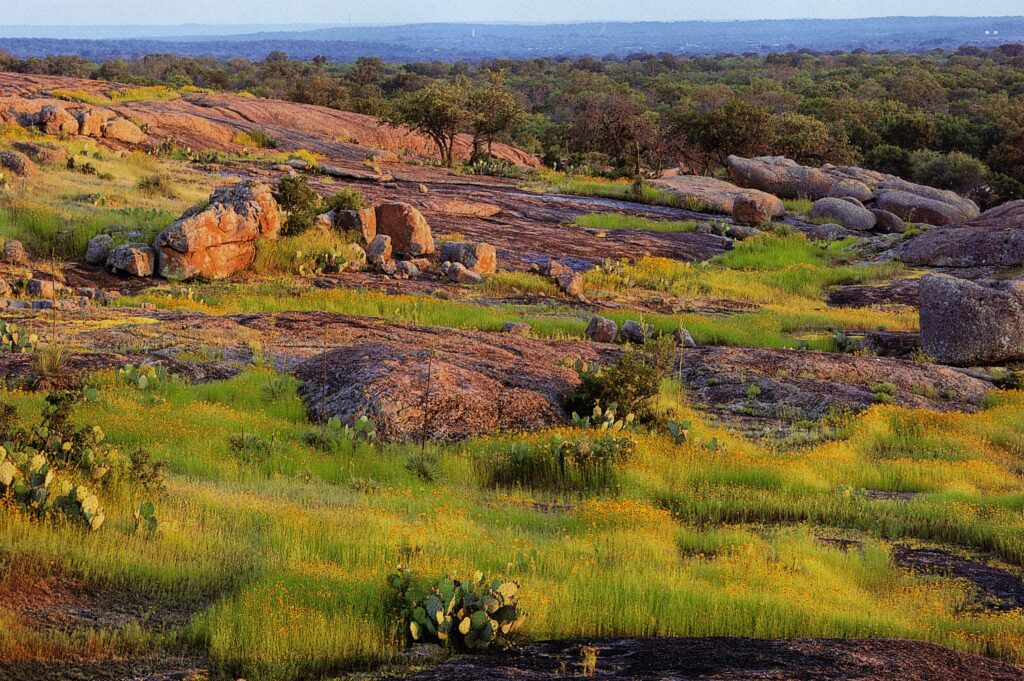
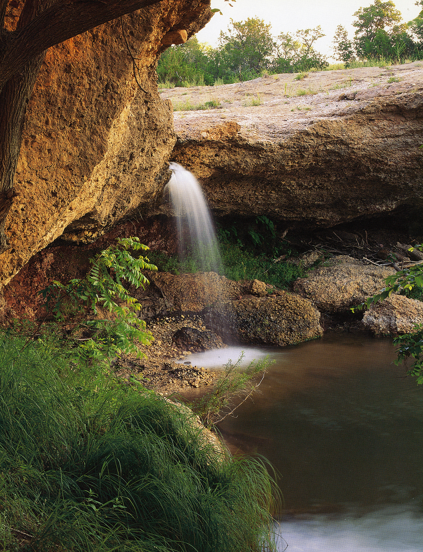
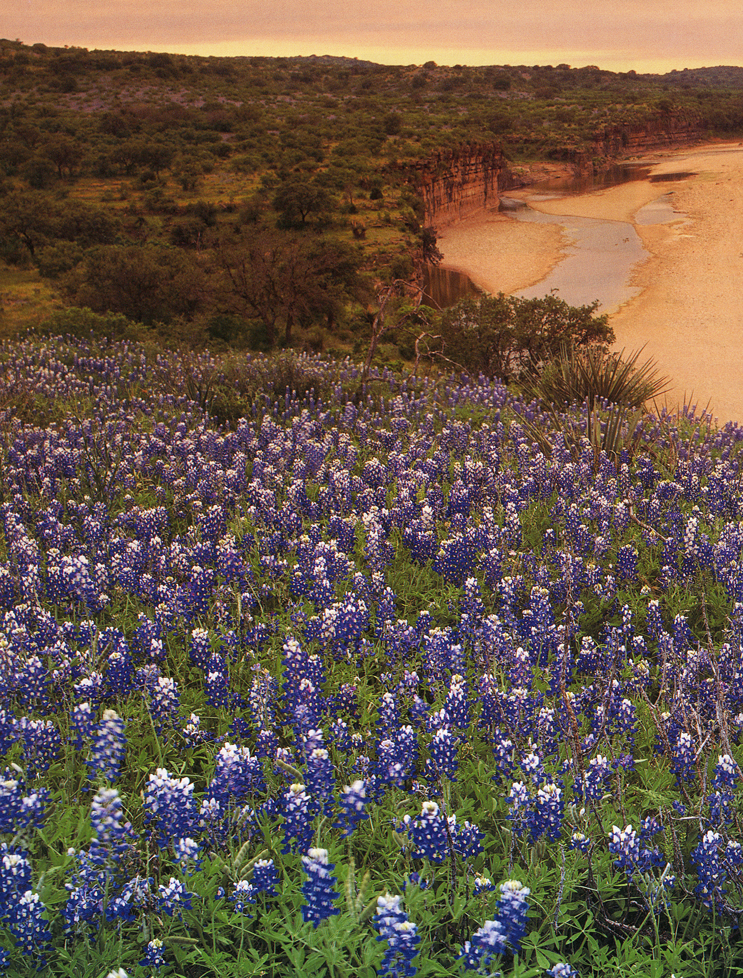
The river runs through rolling terrain and over limestone formations characteristic of the Hill Country. The local soils, mostly clay and sandy loams, support a variety of flora including oak, juniper, pecan, mesquite, and grasses. The river has a constant flow and provides excellent opportunities for canoeing and fishing. The Nature Conservancy and Bat Conservation International manage Eckert James River Bat Cave Preserve, 8.5 miles from the Llano River, one of the largest bat nurseries in the country.
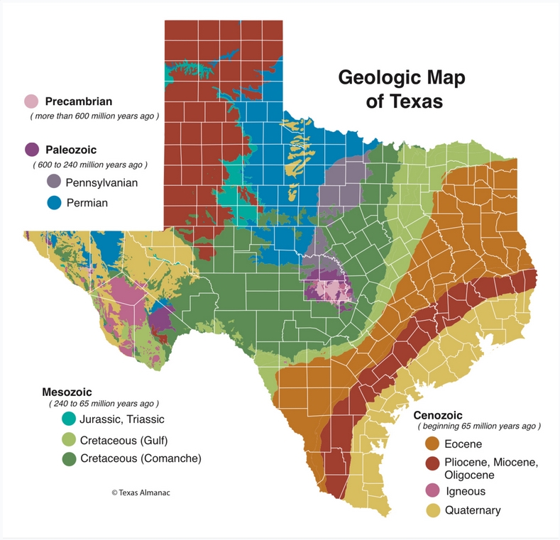
The Llano Basin lies at the junction of the Colorado and Llano rivers. Earlier, this was known as the “Central Mineral Region” because of evidence there of a large number of minerals. On the Colorado River in this area, a succession of dams impounds two large and five small reservoirs. Uppermost is Lake Buchanan, one of the large reservoirs, between Burnet and Llano counties. Below it in the western part of Travis County is Lake Travis. The recreational area around these lakes has been called the Highland Lakes Country. This is an interesting area with Precambrian and Paleozoic rocks found on the surface. Granitic domes, exemplified by Enchanted Rock north of Fredericksburg, form the core of this area of ancient rocks. Rock hounds have found amethyst, quartz, galena, garnet, and even bits of gold. Granite from the Llano Uplift region has provided granite for structures across Texas, including the State Capitol in Austin. Some purport that llanite can only be found in the Llano Uplift area. Llano Uplift: A Geological Wonder in the Texas Hill Country.
Conservation and Threats
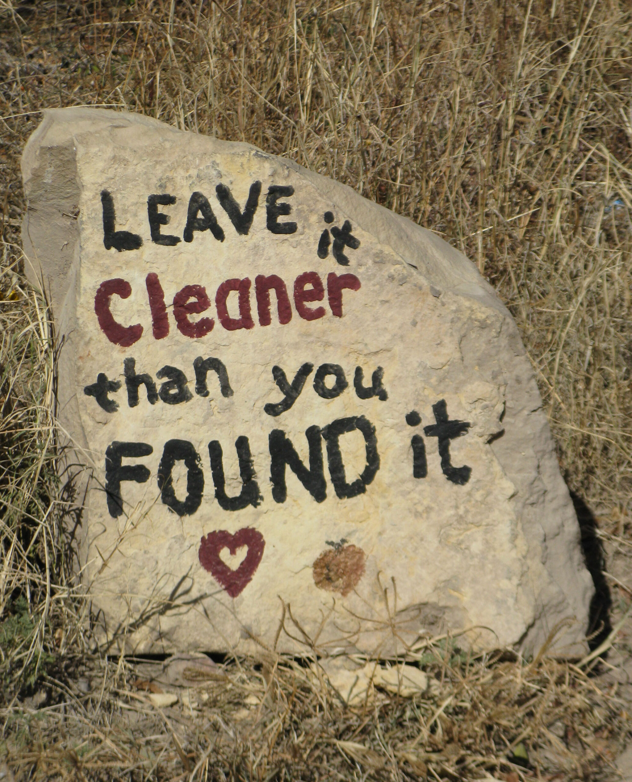
Most of the land along the Llano River is yet undeveloped but urbanization and the quest for water and hydro power may soon reach even the Forks of the Llano. The Llano River watershed is under attack from all sides. Drought and Wildfire, Flooding, Fracking on the Edwards Plateau, Freshwater Mussels, Groundwater Management, Invasive Species, Water Supply, Regional Water Planning, Sand & Gravel Mining.
In June, 2022, a private entity out of Houston known as Waterstone, LLC., applied to TCEQ for a permit to build a dam on the South Llano here. Waterstone and the LCRA seem to be in cahoots on the deal. The Llano River Watershed Alliance is actively opposing the dam and Texas Rivers Protection Association will also actively oppose the permit request.
In 2021, Nelson Energy announced it is in the application process with the Federal Energy Regulatory Commission (FERC) to receive permission to study the efficacy of a hydroelectric plant project on the Llano. An alliance member of Texas Conservation Alliance and partner with Texas Rivers since 2008, Llano River Watershed Alliance is fighting to save the Llano. Please support LRWA.
TXDOT announced in 2020 a new bridge is planned for the Llano River at White’s Crossing FR-1871, southwest of Mason. Since it is not legally required, TXDOT sought no public input for this project. We must ensure that existing public access continues at White’s crossing.
Cultural and Historical Significance
Excerpt from “Texas Rivers” by John Graves – “In Spanish, a llano is a plain, a stretch of country like the high, wide, almost level Llano Estacado of the Panhandle. However, our river of that name, near the northern edge of the Hill Country, flows through no terrain of this description in its east-northeasterly course from sources west of Junction to where it joins the Colorado. In fact, much of the region it drains is decidedly rugged if often scenic, with canyons and mountains. Born in limestone hills, in its middle and lower reaches it travels a long swatch of the anciently volcanic Llano Uplift, a distinctive zone of jumbled granite, metamorphic rocks, upheaved sedimentary strata, and diverse minerals of which some are unique to this area. About the most the river’s uneven and brushy shores can muster in terms of flatness is an occasional floodplain of the sort Spaniards called vega. So how came it to be called the Llano? Linguists who ponder such anomalies have come up with an explanation which the amateur has to suppose is accurate. It seems the Native Americans inhabiting this region when the Spanish first explored it, in the early 1700s, were Tonkawan tribesmen called Chanas, or Chanes, so their main stream was dubbed Rio de las Chanes. Rather soon thereafter, these tribesmen left the scene as dire waves of first Apaches and then Comanches took over their landscape. Later Spaniards corrupted the river’s name into Rio de las Llanes or sometimes Llanos, “ch” or “ll” being fairly interchangeable in their language. Later still, nineteenth-century Anglo-Texan frontiersmen called it simply the Llano, and corrupted corruption by pronouncing the word ‘Lanno’, as we still do today”.
Fishing
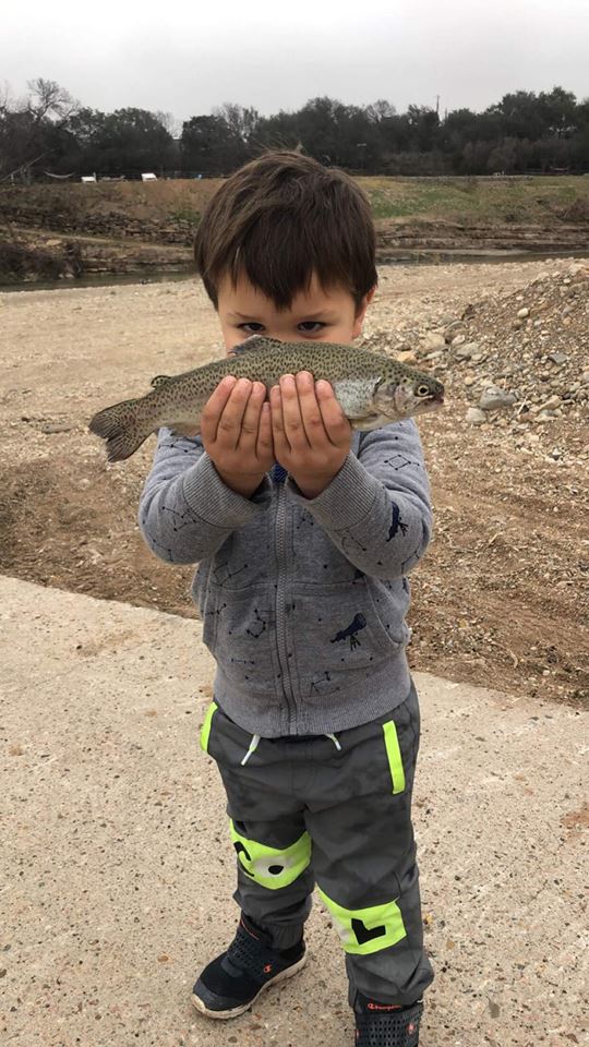
The Llano is a great river for large Guadalupe Bass, Largemouth Bass and Smallmouth Bass. The most common Sunfish are Bluegills, Greens and Rio Grande Cichlid. For moving water like the Llano, you’ll want a good handling river kayak, like a Jackson Coosa.
- Allwater Guides Fly Fishing
- Castell Guide Service
- Expedition Outfitters
- Hill Country FlyFishers
- Fly-Fishing the Texas Hill Country, by Kevin Hutchison
- Rainbow trout stocking schedule
- Winterfisch
- Guadalupe Bass, Texas State Fish
- Llano River Angling Records
Additional Resources
- Llano River Watershed Alliance
- Video: Llano FR-1871 to FR-2389 (TG Canoe & Kayak)
- Video a: Llano River Flood October 2018
- Video b: Llano River Flood October 2018
- Video: Drone footage Llano Before 2018 Flood
- Video: Second Crossing US-377 to KC-150 @75 cfs (TG Canoe & Kayak)
- Video: KC-150 to State Park Rd. 73 @ 250 cfs (TG Canoe & Kayak)
- Video: Second Crossing US-377 at Ford Canyon, upstream .5 mile to falls and back (75 cfs (TG Canoe & Kayak)
- Video: State Park Road 73 Bridge to Junction City Park @176 cfs (TG Canoe & Kayak)
- TPWD Texas Rivers / Streamflow
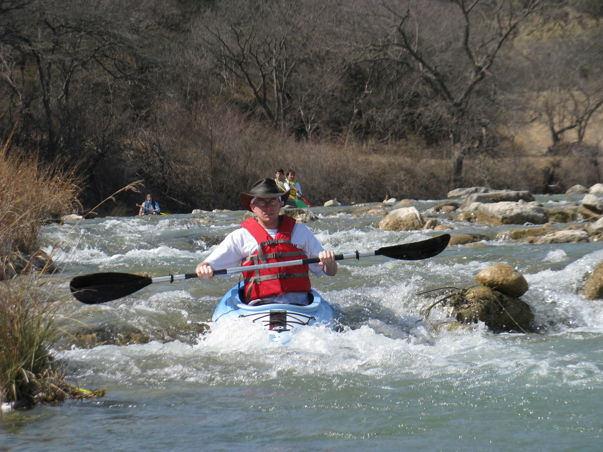
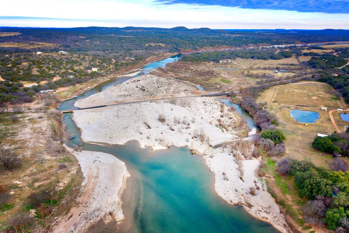
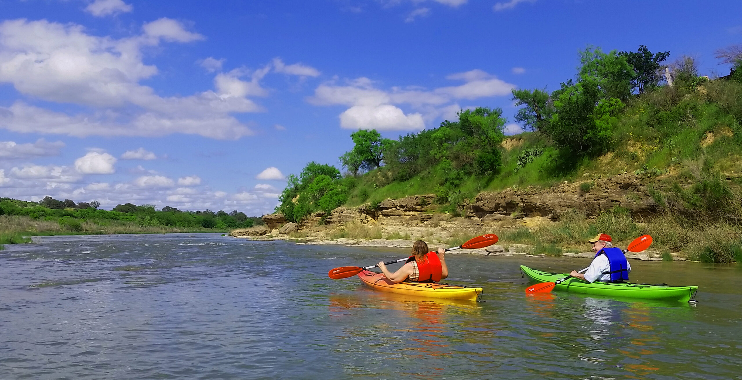
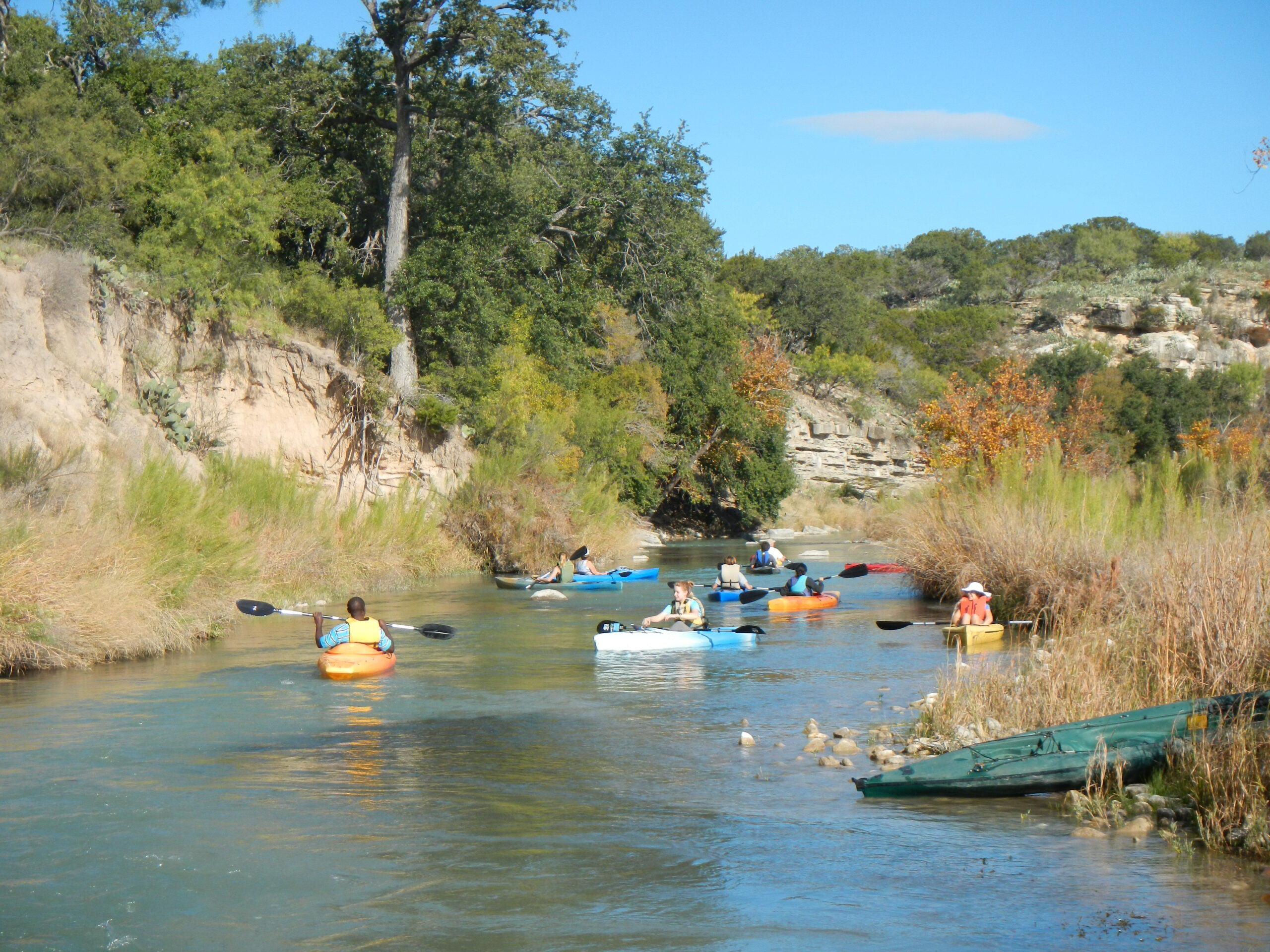
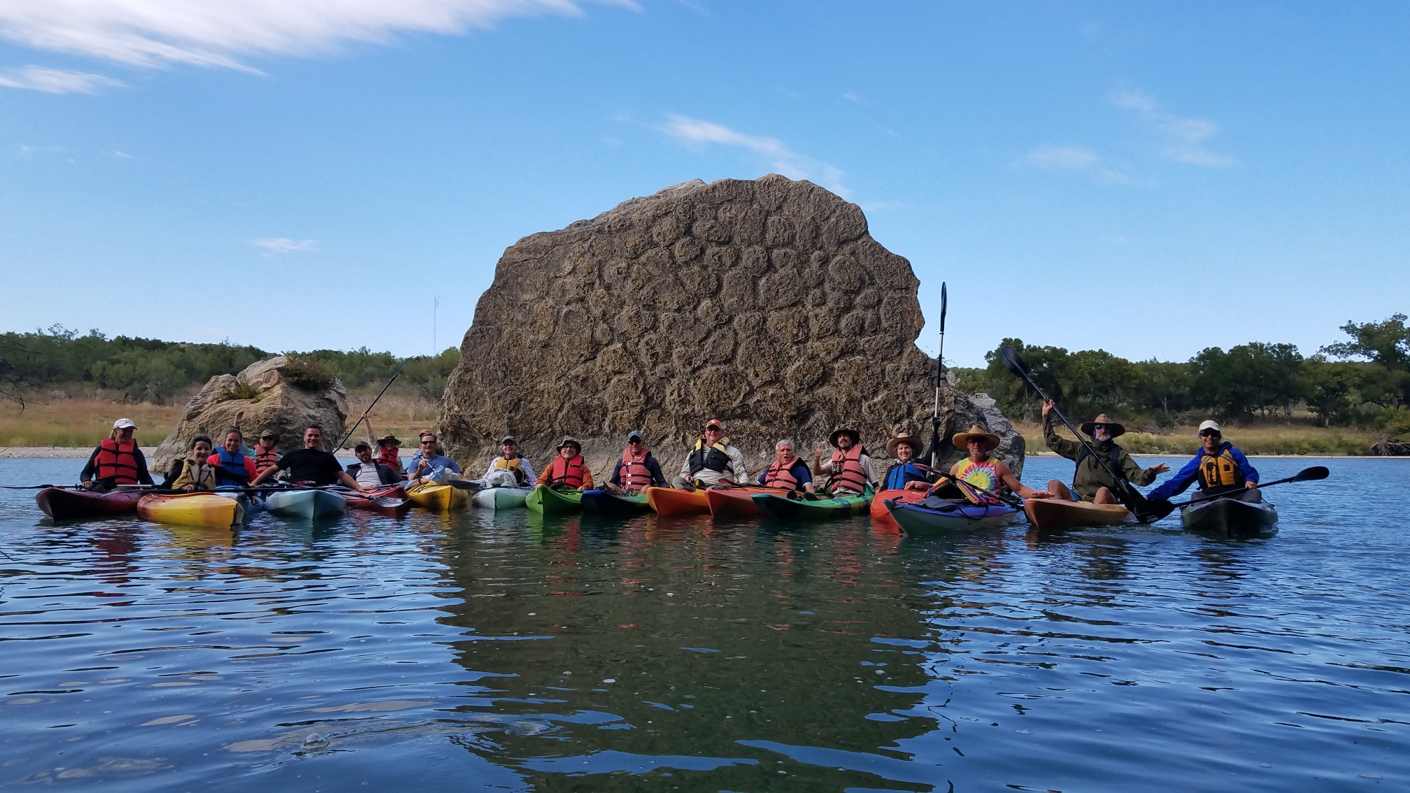
All photos above by TRPA member, Tony Plutino