Recreation and Access
Quick Info
| Length | 82 miles |
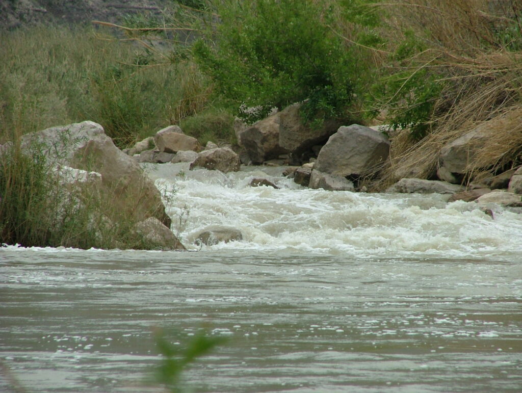
| Class (I-VI) | II-IV |
| Minimum Flow | 200 cfs |
| Ideal Flow | 400 – 2,000 cfs |
| Maximum Flow | 5,000 cfs |
| Current River Conditions | USGS Rio Grande Village |
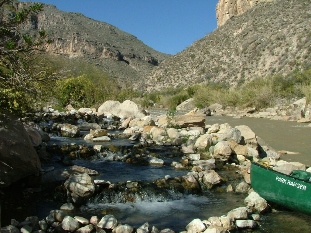
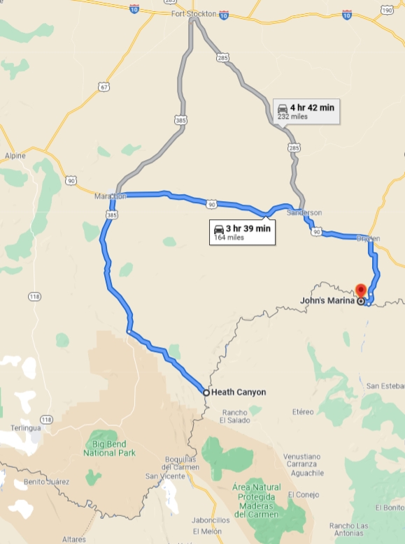
| Put-in map | Heath Canyon |
| Take-out map | Dryden Crossing at Harrison Ranch |
| Boats | Canoes, Kayaks, Rafts |
| Season | Year-round, weather/flow permitting |
| Highlight | Wild & Scenic River, wilderness whitewater paddling & camping |
| Distances to Panther Jct. | Dallas 600 miles; Houston 625 miles; Austin 500 miles; El Paso 330 miles |
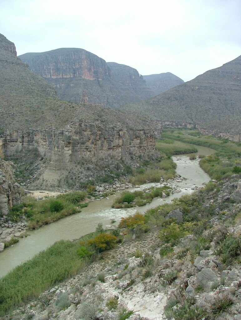
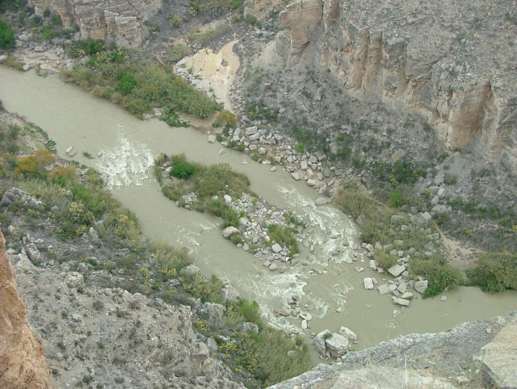
Lower Canyons of the Rio Grande is arguably the premier multi-day wilderness paddling trip in Texas. It is best paddled over 6-9 days with a layover day built in. Heath Canyon to Dryden Crossing is 82 miles of extreme wilderness, very rugged terrain, and Class II-IV whitewater. Best map and guide is Lower Canyons of the Rio Grande by Louis Aulbach & Joe Butler. The very long shuttle may be arranged with one of the Terlingua outfitters listed below. Driving distance from Heath Canyon to Dryden Takeout one-way is 164 miles, 3 hours, 39 minutes.
Conservation & Threats
Bacterial infections are easy to contract. Use soap and clean water, especially with open sores on hands or feet. Development encroachment, water pollution. Invasive Giant reed or Arundo donax and Salt cedar, Tamarix are ubiquitous along the river banks.
Historical/Cultural Significance
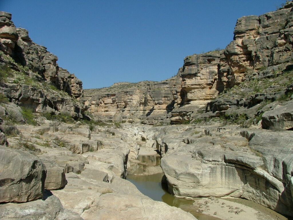
For 196 miles, the Rio Grande Wild & Scenic River flows freely through Big Bend canyons. There are many rock art sites and side hikes to abandoned candelilla wax sites. Conflict with Mexico continued when the United States annexed Texas as a state in 1845. Mexico claimed that the new border between Texas and Mexico was the Nueces River, while the United States contested the border was the Rio Grande. The Treaty of Guadalupe Hidalgo, that brought an official end to the Mexican-American War (1846-1848), was signed on February 2, 1848, at Guadalupe Hidalgo, where the Mexican government had fled with the advance of U.S. forces. By its terms, Mexico ceded 55 percent of its territory, including parts of present-day Arizona, California, New Mexico, Texas, Colorado, Nevada, and Utah, to the United States. Mexico relinquished all claims to Texas, and recognized the Rio Grande as the southern boundary with the United States. The United States paid Mexico $15,000,000 “in consideration of the extension acquired by the boundaries of the United States” (see Article XII of the treaty) and agreed to pay American citizens debts owed to them by the Mexican government. The treaty gave rise to development of the IBWC International Boundary and Water Commission which governs all concerns of flow and sharing of the boundary waters of the Rio Grande and other boundary waters of New Mexico, Arizona and California.
Natural Features
Many deep canyons, several riverside springs providing clean, potable water.
Additional Resources
- Big Bend National Park, TX 79834 / (432) 477-2251
- Lower Canyons of the Rio Grande by Louis Aulbach & Joe Butler
- Chart – RGWS River Mileages Presidio to Langtry 318 Miles.PDF
- Chart – Lower Canyons Mileages Heath Canyon to Dryden Crossing 82 Miles.PDF
- NPS: Big Bend Home Page
- NPS: Big Bend Daily Report
- NPS: Floating the Rio Grande NPS Page
- Far Flung Outdoor Center, Terlingua
- Desert Sports, Terlingua
- Big Bend River Tours, Terlingua
- Angell Expeditions
- Big Bend Natural History Association
- Death In Big Bend, Real stories of death and rescue by Laurence Parent
Flow information
- USGS Gauge below Presidio
- USGS Gauge nr Castolon
- USGS Gauge at Rio Grande Village, Big Bend N.P.
- Mexican Reservoir Storage (Rio Concho)