Overview
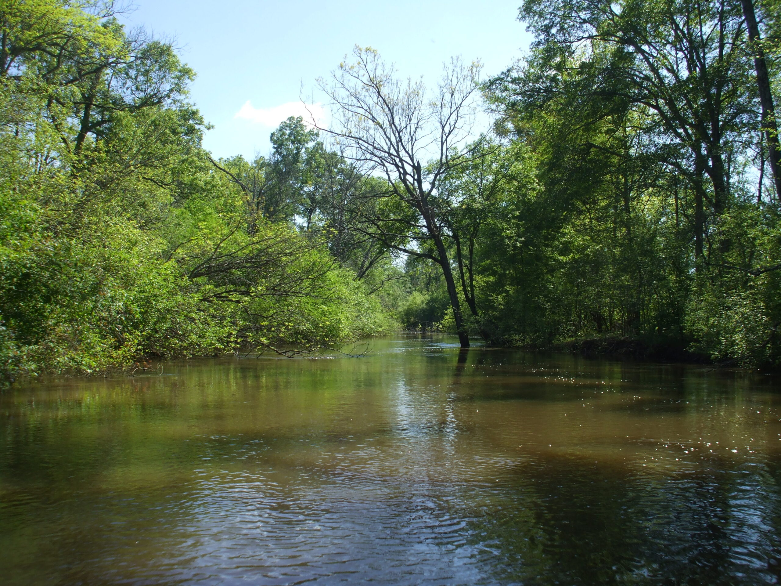
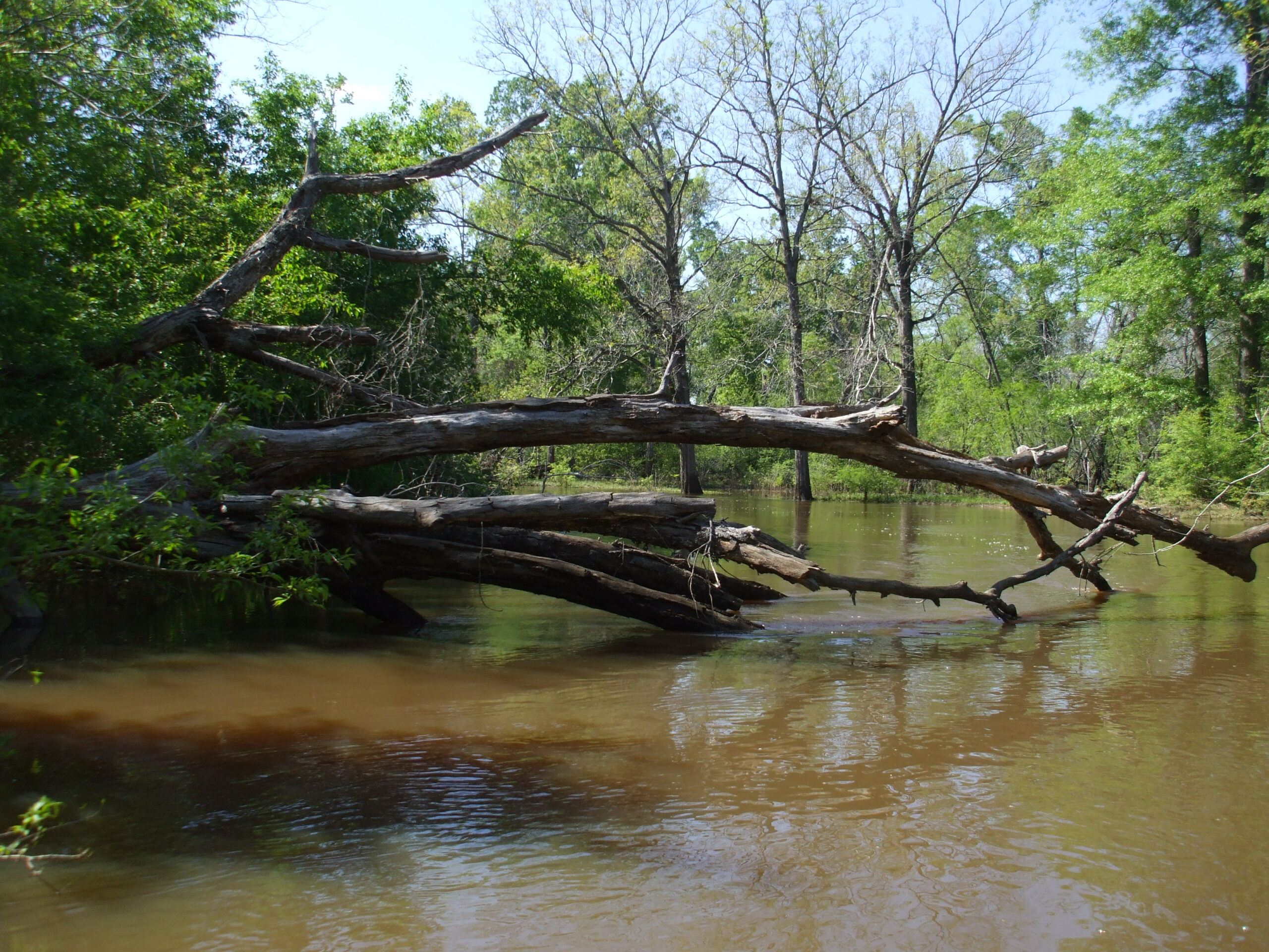
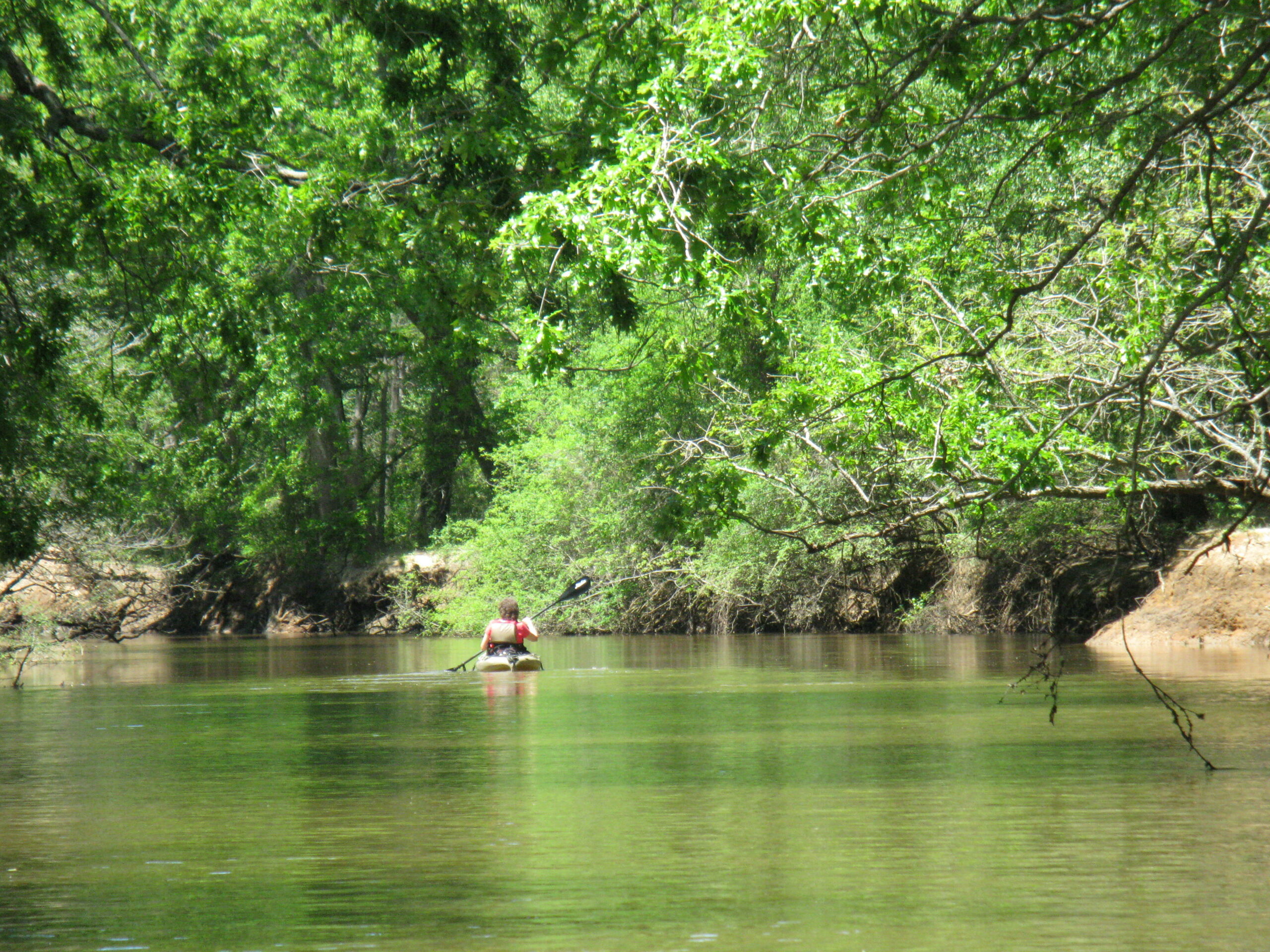
The Neches River drains 10,000 square miles and covers 416 miles to empty in the Gulf of Mexico at Port Neches. Lake Palestine and B.A. Steinhagen Lake are the only two reservoirs on the Neches. The river has adequate flow for paddle trips most of the time, but the trips will be slower and shallower during periods with little heavy rainfall. The Neches is a twisting, meandering river of hairpin turns, logjams, strainers and dead-end channels. After flooding, new logjams can become new obstructions to paddling, particularly on the Upper Neches. Because of these factors, a paddle trip on the Neches can become a monumental challenge. Gina Donovan’s guide, Neches River User Guide will help you plan and research your trip well.
Recreation and Access
Quick Info
| Length | Various lengths |
| Class (I-VI) | I-II |
| Minimum Flow | Upper: xxxx cfs; Lower: xxxx cfs |
| Ideal Flow | Upper: xxxx-xxx cfs; Lower: xxxx-xxxx cfs |
| Maximum Flow | Upper: xxxx cfs; Lower: xxxx cfs |
| Current River Conditions | USGS Upper nr Alto; USGS Lower nr Town Bluff |
| Put-in | See featured runs below |
| Take-out | See featured runs below |
| Boats | Canoes, Kayaks |
| Season | Year-round, weather /flow permitting |
| Highlight | Beautiful sandy beaches, good fishing, good camping |
Featured Runs
- Upper Neches
- Lake Palestine Chandlers Landing Paddling Trail [1-8 miles loop]
- Lake Palestine Dam to US-79 [19.3 miles]
- US-79 to US-84 [15.1 miles]
- Davy Crockett Paddling Trail [9.2 miles]
- Cherokee Paddling Trail [6.6 miles]
- Bevilport Paddling Trail [9 miles]
- Martin Dies, Jr. State Park Paddling Trails [3-16 miles loop]
- Lower Neches & Big Thicket (Below Steinhagen Dam)
- B.A. Steinhagen Dam FM-4401 to FM-1013 [13.5 miles]
- FM-1013 to Hardin County Park [30.1 miles]
- Hardin County Park to Hwy-96 Beaumont [9.2 miles]
- Village Creek Paddling Trail [21 miles]
- Village Creek Hwy-418 to Hwy-327 Bridge [8.4 miles]
- Cooks Lake Paddling Trail [4.8 mile loop]
- Collier’s Ferry to Lake Bayou Paddling Trail [7 miles loop]
Natural Features
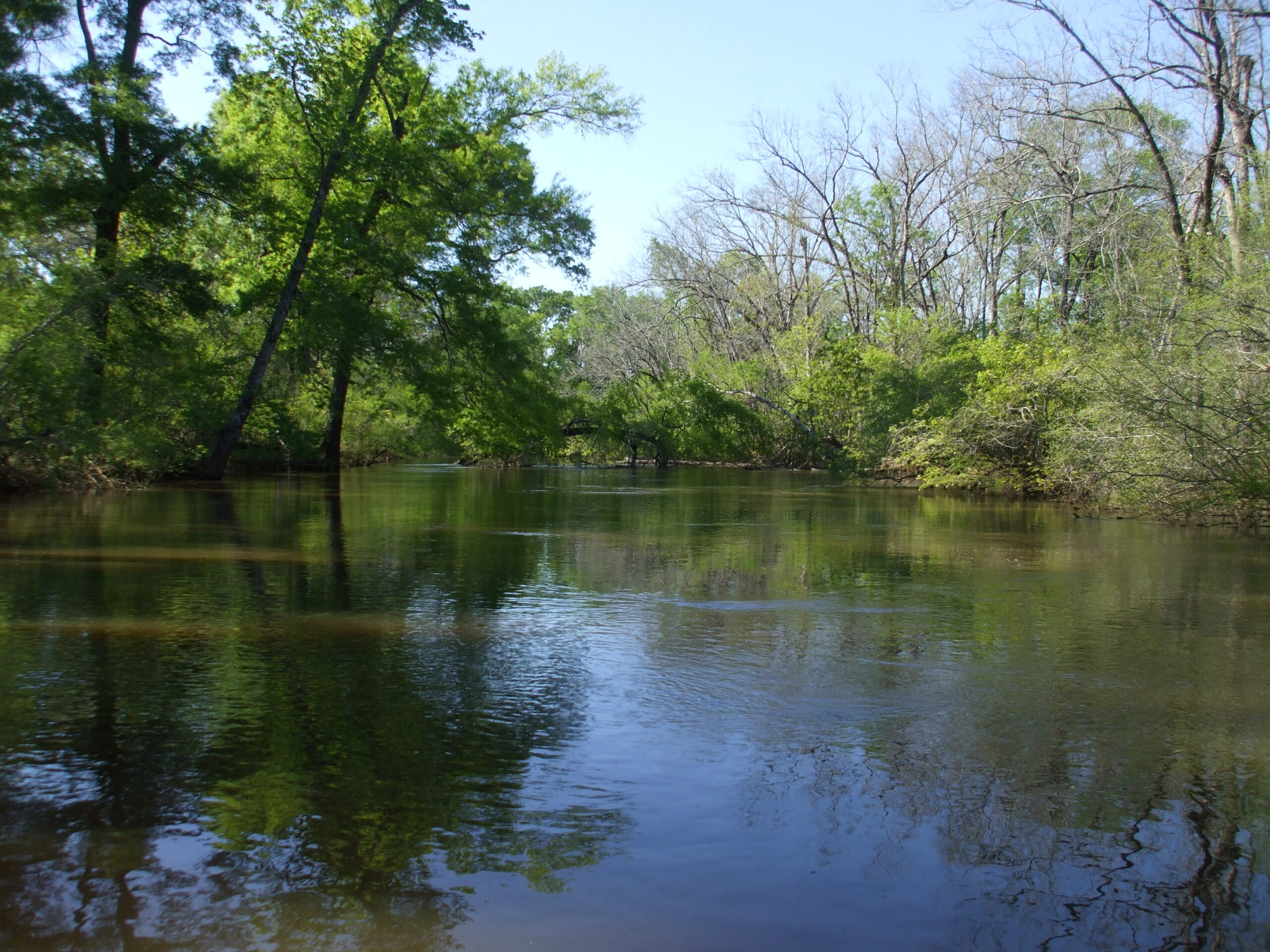
If you are looking for sandy beaches good for overnight camping, you will find primitive and beautiful campsites on sandbars along the Neches. However, the Neches has steep, muddy, heavily wooded banks that make exit difficult to impossible in many places.
The numbers are impressive at the Neches River National Wildlife Refuge – 273 bird species, 45 mammal species, 54 species of reptiles and amphibians, plus 116 fish species. These critters thrive across a flood plain that also acts as a natural sponge to filter floodwaters and improve water quality while helping to mitigate downstream flooding. “Another thing that distinguishes the NRNWR is its mussels”, says Dr. Neil Ford, longtime but now-retired biology professor at UT Tyler who has studied river mussels for years. “Overall, the upper Neches area is some of the most diverse habitat in Texas. I have surveyed mussels in all the rivers of East Texas, and the 37 species of mussels I found in the Neches is far more than any of the other rivers,” he says. “The area has less human disturbance with fewer urban areas, less oil and gas drilling, and fewer dams. The refuge is extremely important in helping protect this area. It is also important in that it is the most scenic of all the East Texas rivers. It is great fun to kayak.”
Growing especially along the banks of the lower reaches of the Neches, Bald cypress, Taxodium distichum, are among the biggest, tallest and longest-lived trees in Texas. Some have reportedly reached an age of 800 to 1,200 years. Bald cypress were around with the dinosaurs. When young, they’re shaped liked Christmas trees, but as they age, the crown tends to open up and the branches lift skyward, forming a massive, lofty, overarching canopy. Bald eagles and ospreys take full advantage of the height of these trees to nest on the river. Cypress are famous for their “knees”, which are thought to provide oxygen to the roots and/or to serve as anchors. Hanging from the Bald cypress trees, the ubiquitous Spanish moss (Tillandsia usneoides) is neither Spanish nor is it a moss. It is an epiphytic flowering plant that often grows upon large trees in tropical and subtropical climates.
Historical / Cultural Significance
The Battle of the Neches, the main engagement of the Cherokee War of 1838–1839 (part of the Texas-Indian Wars), took place on 15–16 July, 1839 in what is now the Redland community of south Van Zandt County, along Battle Creek, in the Upper Neches watershed and upstream of present day Lake Palestine. It resulted from the Córdova Rebellion and Texas President Lamar’s determination to remove the Cherokee people from Texas. Many had migrated there from the American Southeast to avoid being forced to Indian Territory in present-day Kansas and Oklahoma. Ipso facto domino rio non complevit.
Conservation and Threats
It was a long hard battle fought against construction of Fastrill Dam and for implementation of the Neches River NWR. The City of Dallas, known for its high water consumption and water-wasting St. Augustine lawns, pushed hard against establishing the refuge, to keep the site available for a future reservoir. Conservation groups and the U.S. Fish and Wildlife Service singled out this unique ecosystem for protection back in the 1980s. Many studies chronicled its myriad natural wonders. But this stretch of the upper Neches was almost permanently flooded in 2005 when Dallas proposed a reservoir here to serve the city’s future water desires. Only two major lakes — Lake Palestine and B.A. Steinhagen Reservoir — inundate parts of the Neches River on its 416-mile flow from its headwaters in Van Zandt County to Port Arthur and the Gulf. And that’s the way local and state conservationists wanted to keep it. “I grew up fishing and hunting along the Neches with my dad,” recalls conservationist and Jacksonville dentist Michael Banks, who in 2006 mobilized a group called Friends of the Neches River (FNR). “The reservoir would’ve covered up all that prime bottomland, so we gathered thousands of petition signatures to show politicians we wanted to save this for future generations.” Texas Conservation Alliance and FNR mounted a huge grassroots advocacy effort to defeat the dam. Read more: A Refuge On the River, by Randy Mallory.
Fishing
The mainstays of the Neches fishery are the Channel Catfish, Largemouth and White bass. Neches River Largemouth Bass are more active than their lake brethren; therefore, river bass are smaller but many people find that, pound for pound, they are more fun to catch. The Sunfishes include Bluegill, Redear, Warmouth, Crappie. The prehistoric Alligator Gar is a common fish sighted on the Neches River. The Alligator Gar can weigh over 300 pounds at 10′ in length. The Alligator gar spawns in flooded bottomlands. When irregular spring flooding of the Neches River inundates these areas (and temperatures are 68-82F [20-28C]), Alligator gar will move from the main channel into tributary Creeks and branches. In low-lying vegetated areas (up to one mile from main channel), the female Alligator gar will lay eggs and males will fertilize them. A female will lay an average of 150,000 bright red eggs. If ingested, these eggs are poisonous to humans and other predators. The eggs will hatch in as few as 48-72 hours. When the floods subside, fingerlings follow the creeks back to the main channel. For this reason, TPWD regulations restrict Alligator gar fishing in spring or fall flooding conditions.
Additional Resources
- Paddling the Wild Neches, Richard Donovan
- Neches River User Guide, Gina Donovan
- Friends of the Neches River (Facebook)
- Friends of the Neches River National Wildlife Refuge (Facebook)
- Neches River Runners (Facebook)
- Neches River Rendezvous (Facebook)
- Neches Trip Report Nov. 2017, Earl Atnip [57 miles]
- Angelina Trip Report Feb. 2016, Earl Atnip
- Neches River National Wildlife Refuge
- Neches River Angling Records
- Texas Conservation Alliance
- Fish Consumption Advisory on Village Creek
- TPWD Texas Rivers / Streamflow
